
I went to Navaho Peak a couple weekends ago on an overnight hike. The hike starts along Stafford Creek and slowly ascends to a ridge to the west of Navaho Peak.
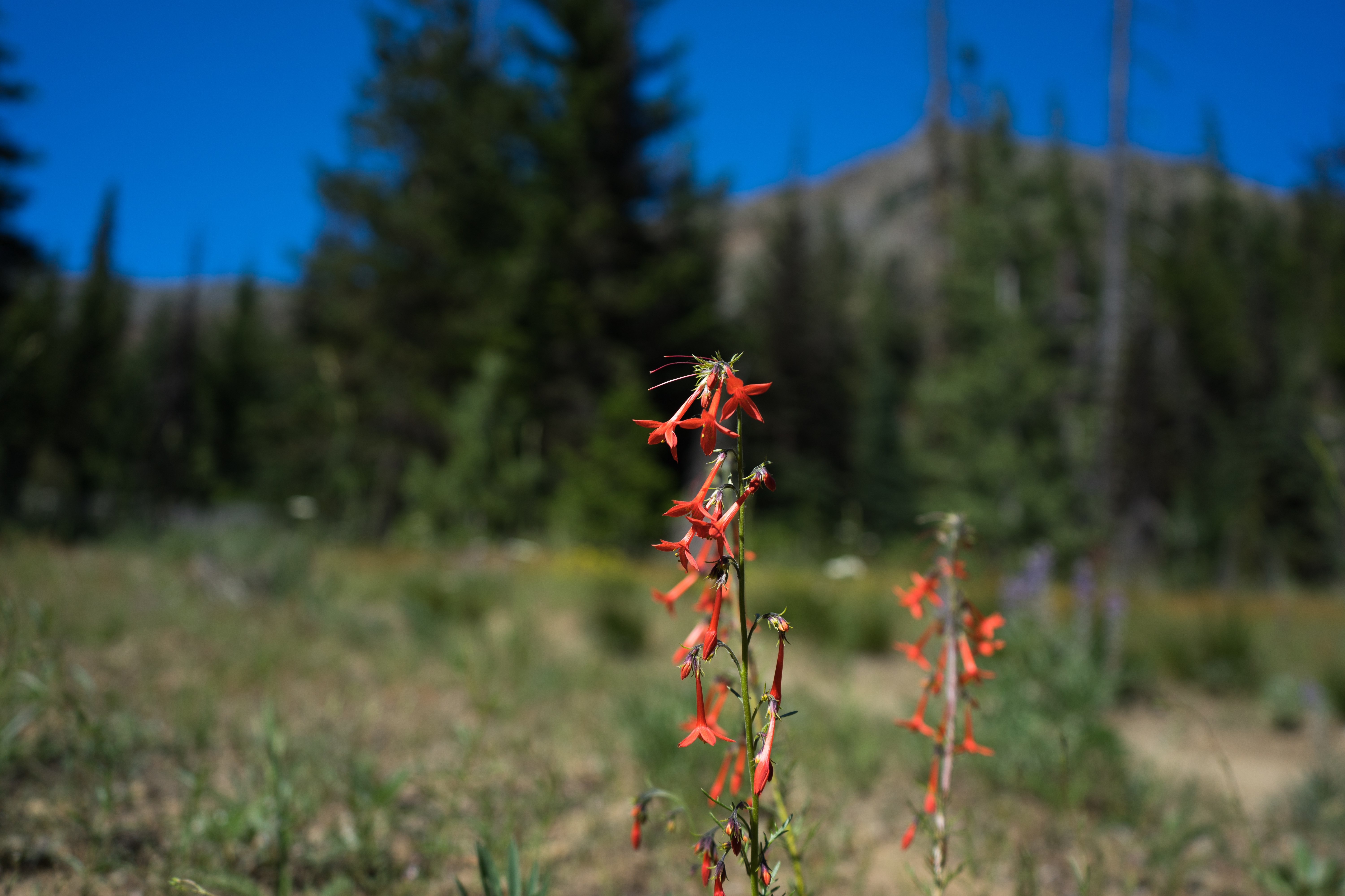
Flowers along the trail
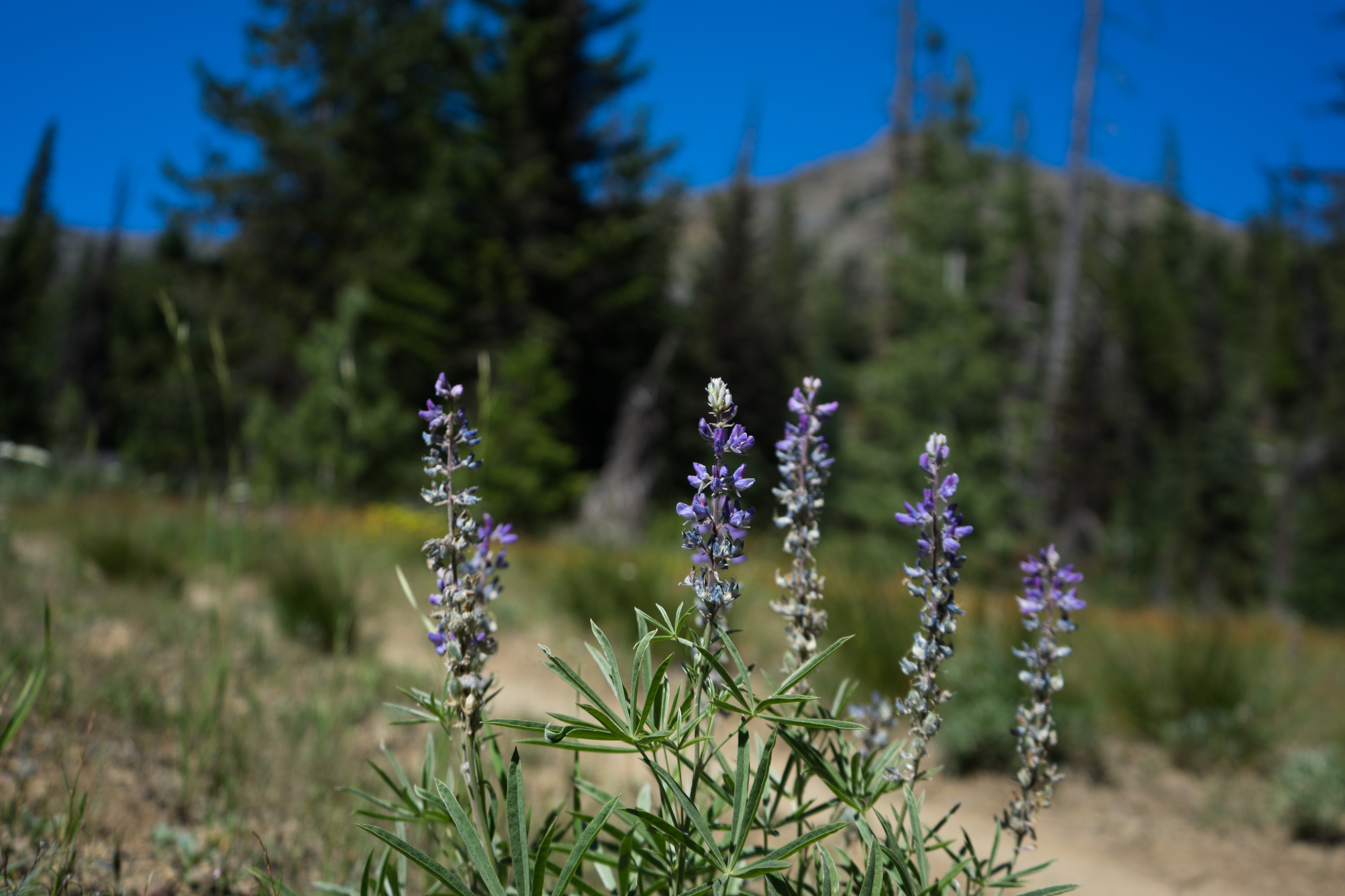
More flowers
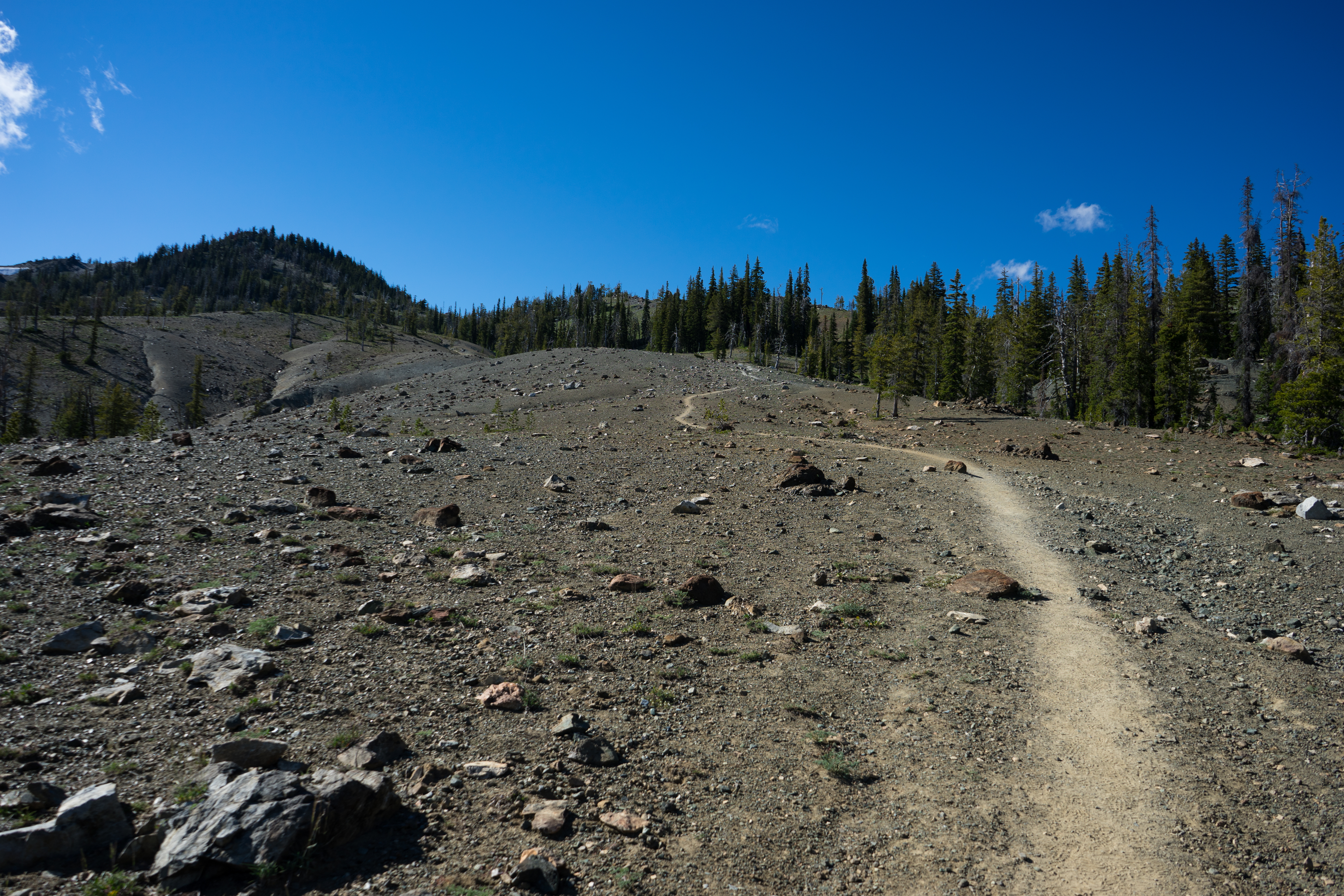
Getting above the tree line
When I got up to the ridgeline, I was smacked with about 40mph wind. I was a bit worried I wouldn't be able to camp on the ridge, but I was able to find a copse of trees along the trail. The wind in the trees wasn't nearly as stiff.
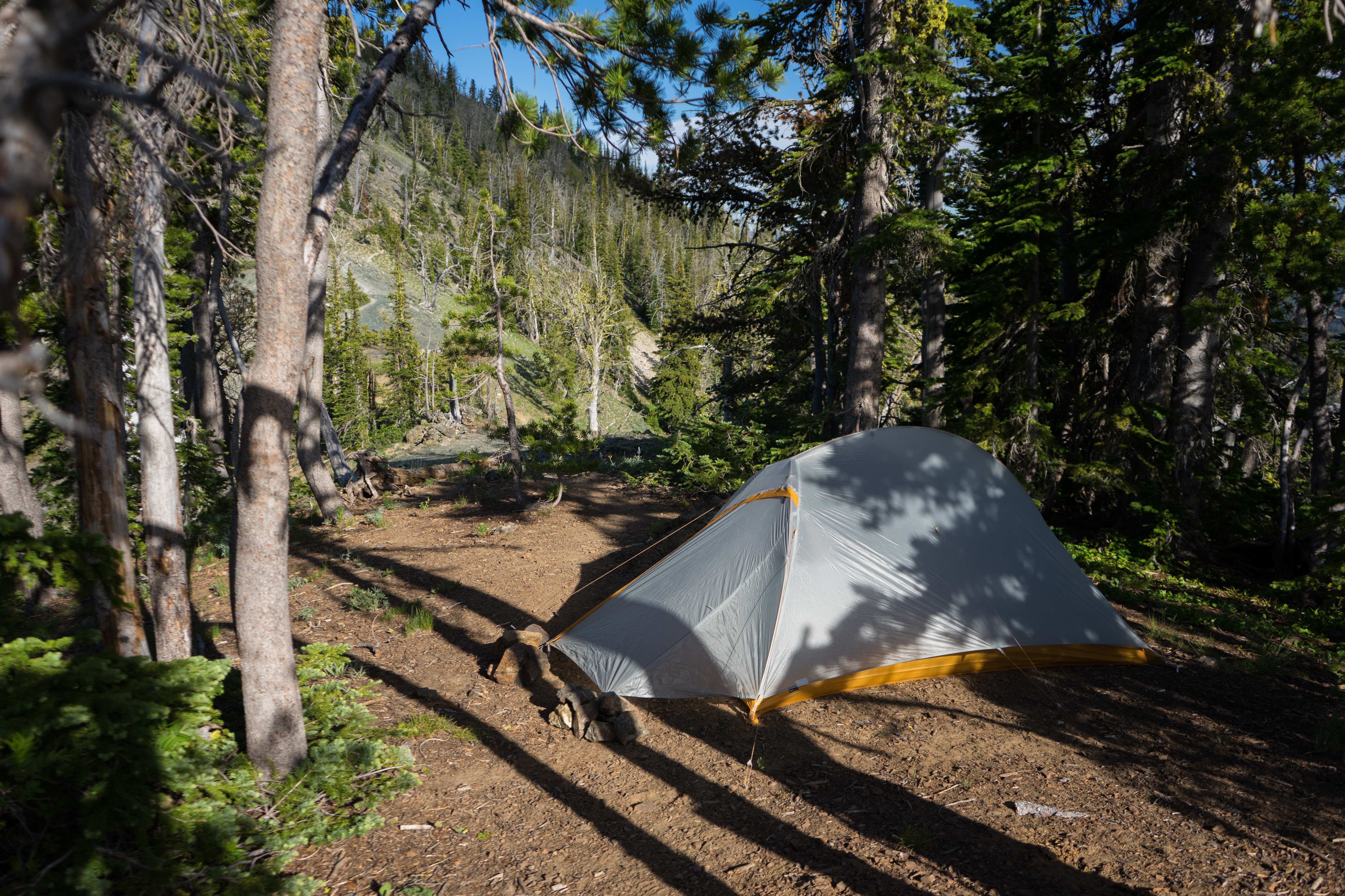
My campsite for the night
Stuart range from the ridgeline
After setting up camp, I ascended Navaho Peak to take pictures near sunset. The trail from the ridge to the peak was much steeper than the trail along the creek, and the wind gradually grew stronger as I got higher. At the top of the peak the wind was probably about 80mph, and it was quite cold.
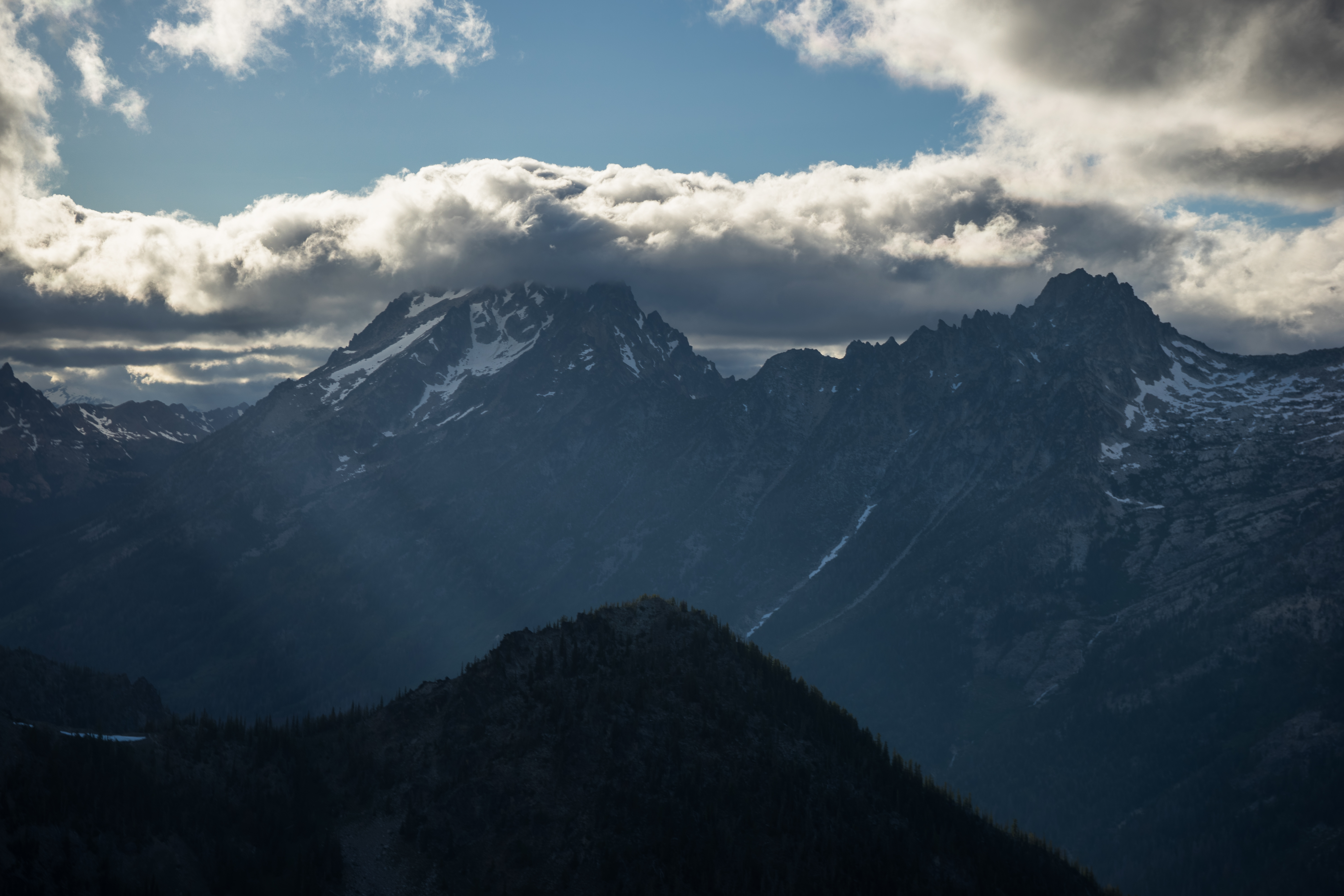
Clouds and Mount Stuart to the right, halfway up Navaho Peak
Stuart from the top
Panorama of the Stuart range
Stuart in the clouds
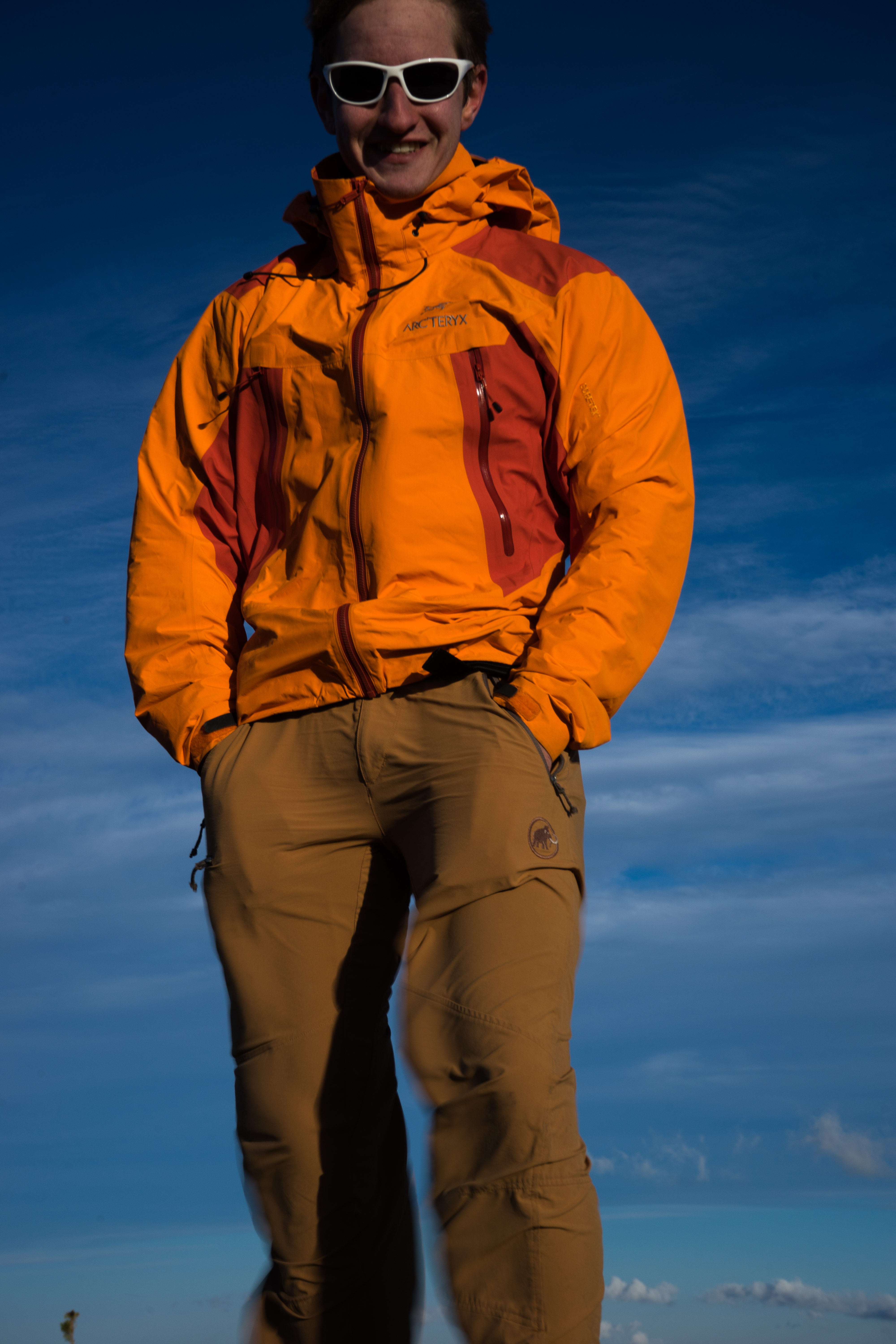
Me at the top
Near sunset
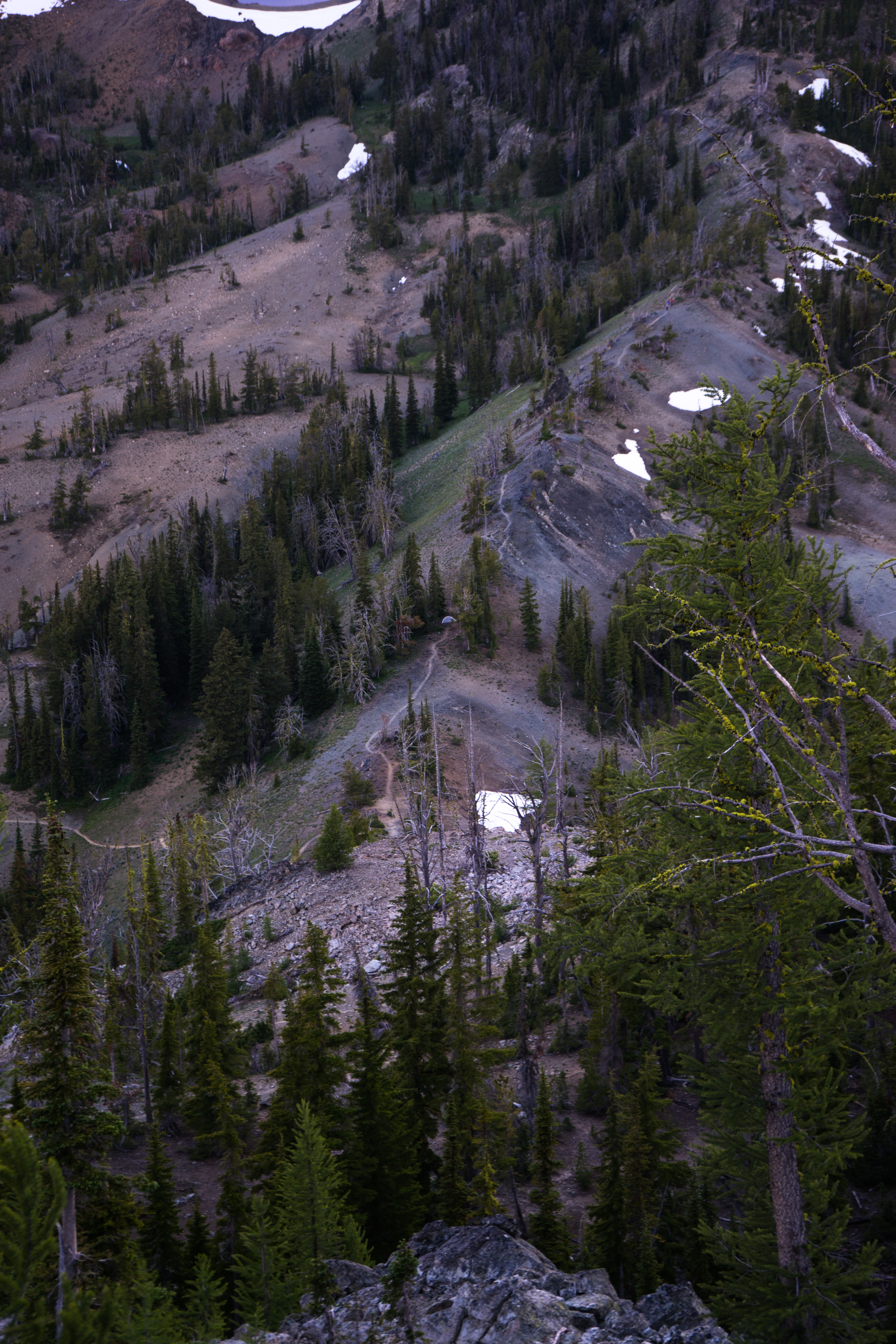
The ridgeline. My tent is the small gray dot in the middle
I woke up pretty early in the morning to take pictures of Stuart, but it was cloudy at first. Once the clouds cleared a bit I went back up the mountain, but stopped when I realized Stuart was still obscured.
After that, I went back to my campsite, packed up, and headed back down to my car.
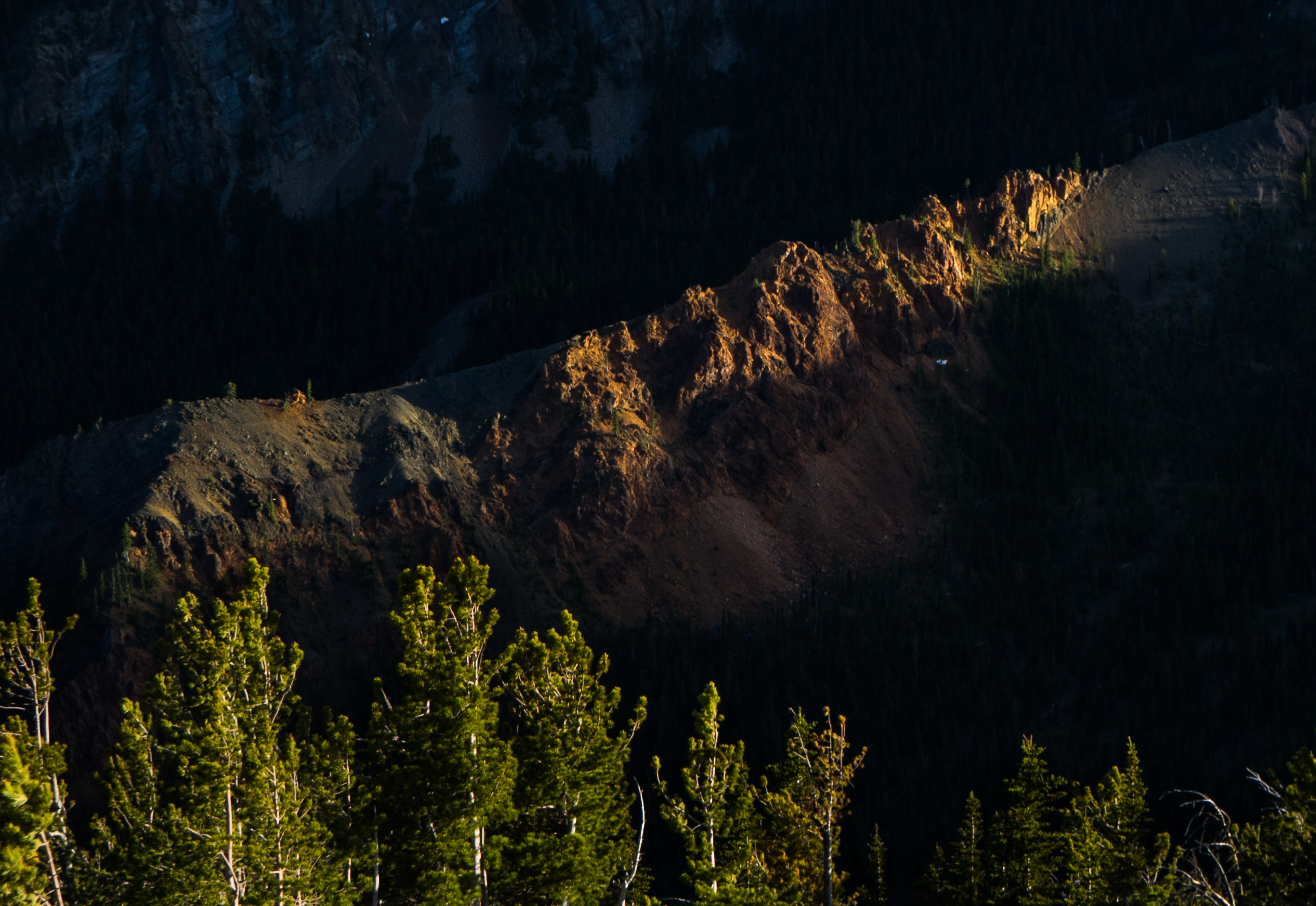
Halfway up the mountain
Campsite in the morning
Heading back down in the morning