
This Saturday I hiked the Fourth of July Trail, which ascends up Icicle Ridge just west of Leavenworth. The trail is the "quick" way up the ridge, which means that it's pretty steep. All in all, it's 12 miles with 4700 feet of elevation gain round-trip. This was actually my second time up this trail; my first time was in June of 2014. This time I got a bit of a late start, which means that the light was excellent.
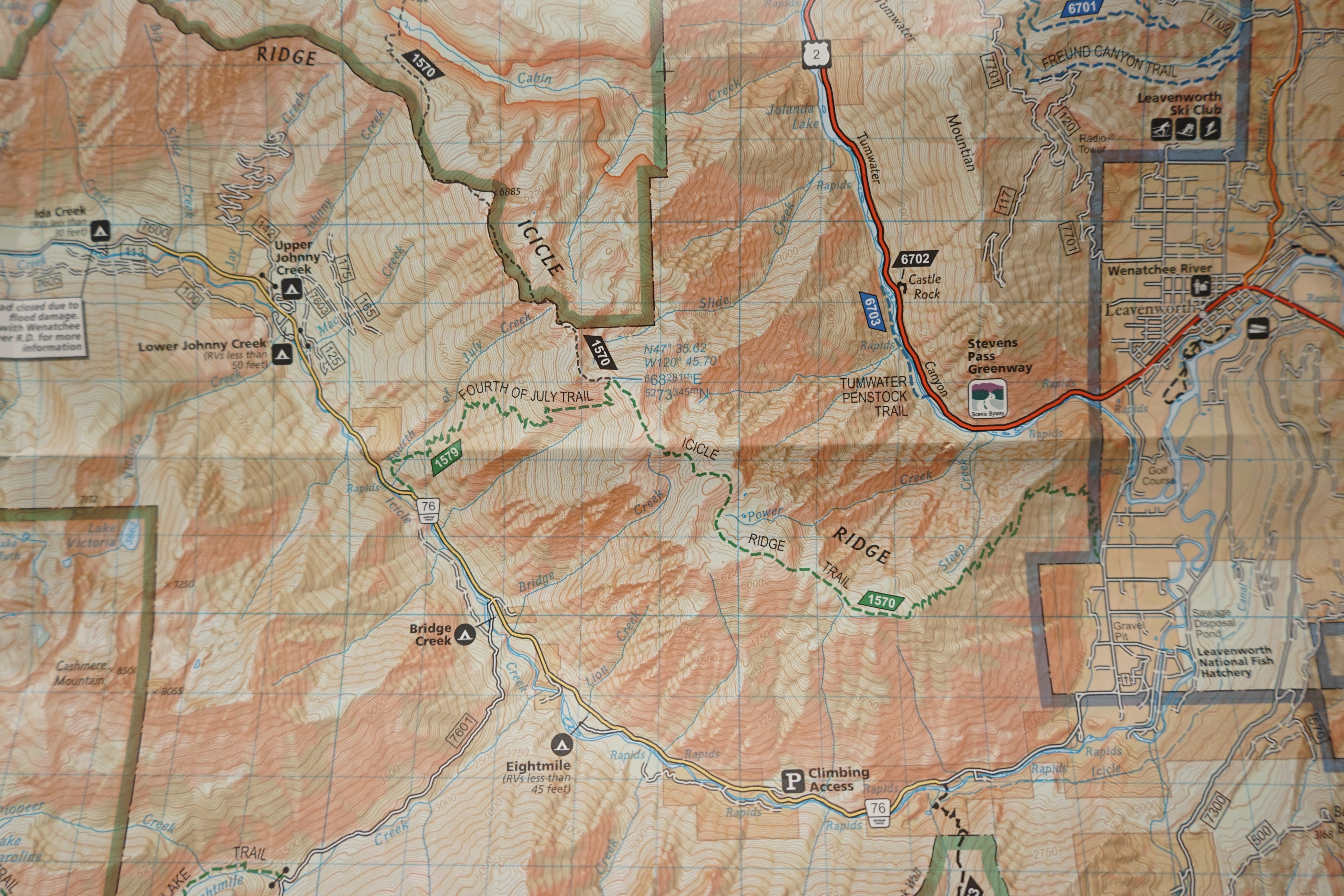
Image of my topo map - the trail goes up the side of the ridge
Part of the reason I went up the Fourth of July trail is the temperature - it faces the sun during much of the day in the winter, so the snow melts early. Of course, that means it's pretty hot on the trail. On Saturday my car said it was 87 F at the trailhead.
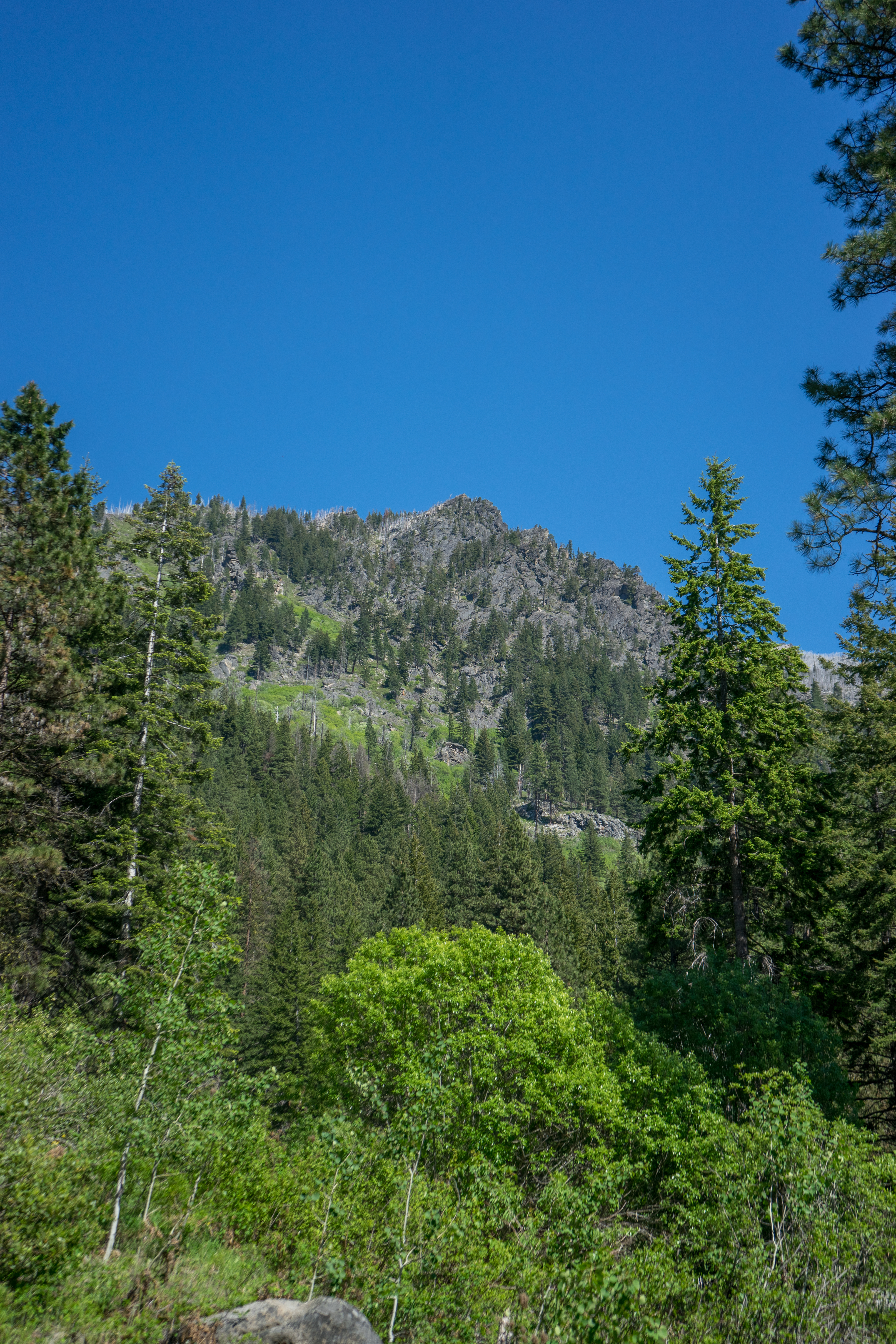
A false summit of Icicle Ridge from partway up the trail
The trail consists of essentially entirely switchbacks; I think I counted a little over 50. There are basically four sections:
- A relatively gentle rise through a pine forest, during which there are some views of Cashmere mountain from below. (switchbacks: 23)
- A steeper section through a gully filled with slide alder. AKA Hell. (switchbacks: 9)
- A traverse through a burned-out forest, where you start to get more views of mountains near the enchantments. (switchbacks: 22)
- The last rise to the top of the ridge, and the traverse to the summit. (switchbacks: 0)
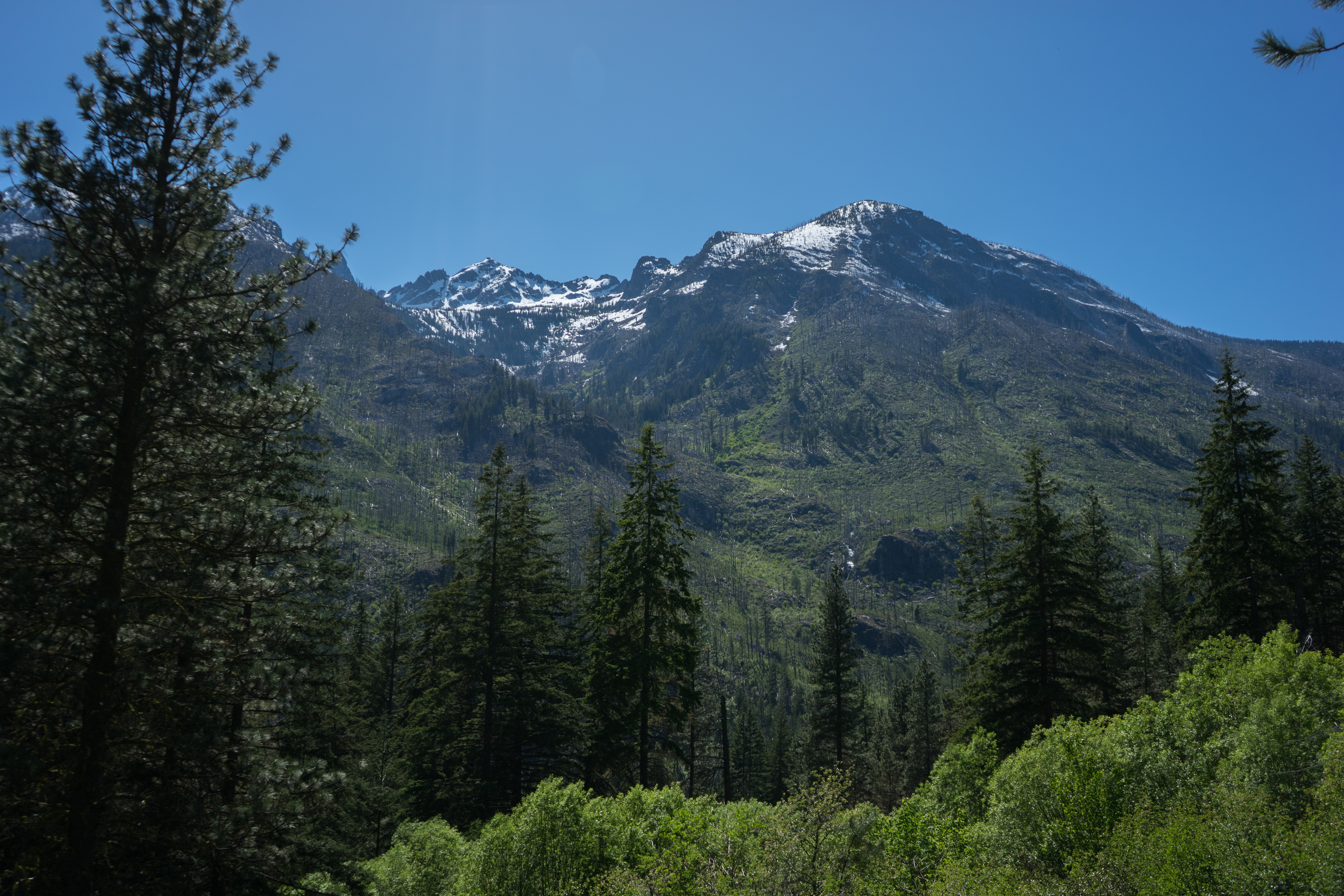
Cashmere mountain from near the beginning of the trail
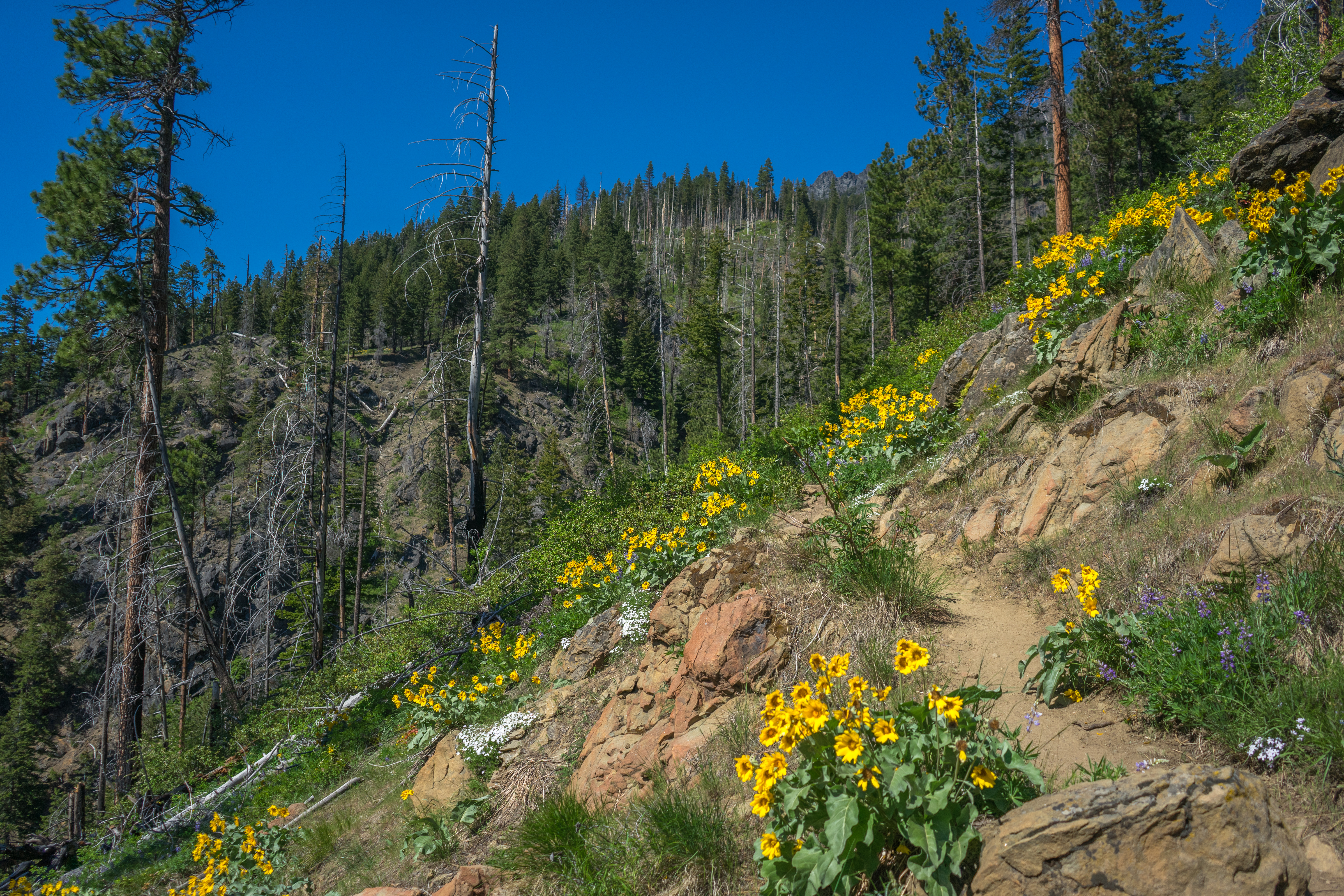
Wildflowers and trees near the beginning of the trail
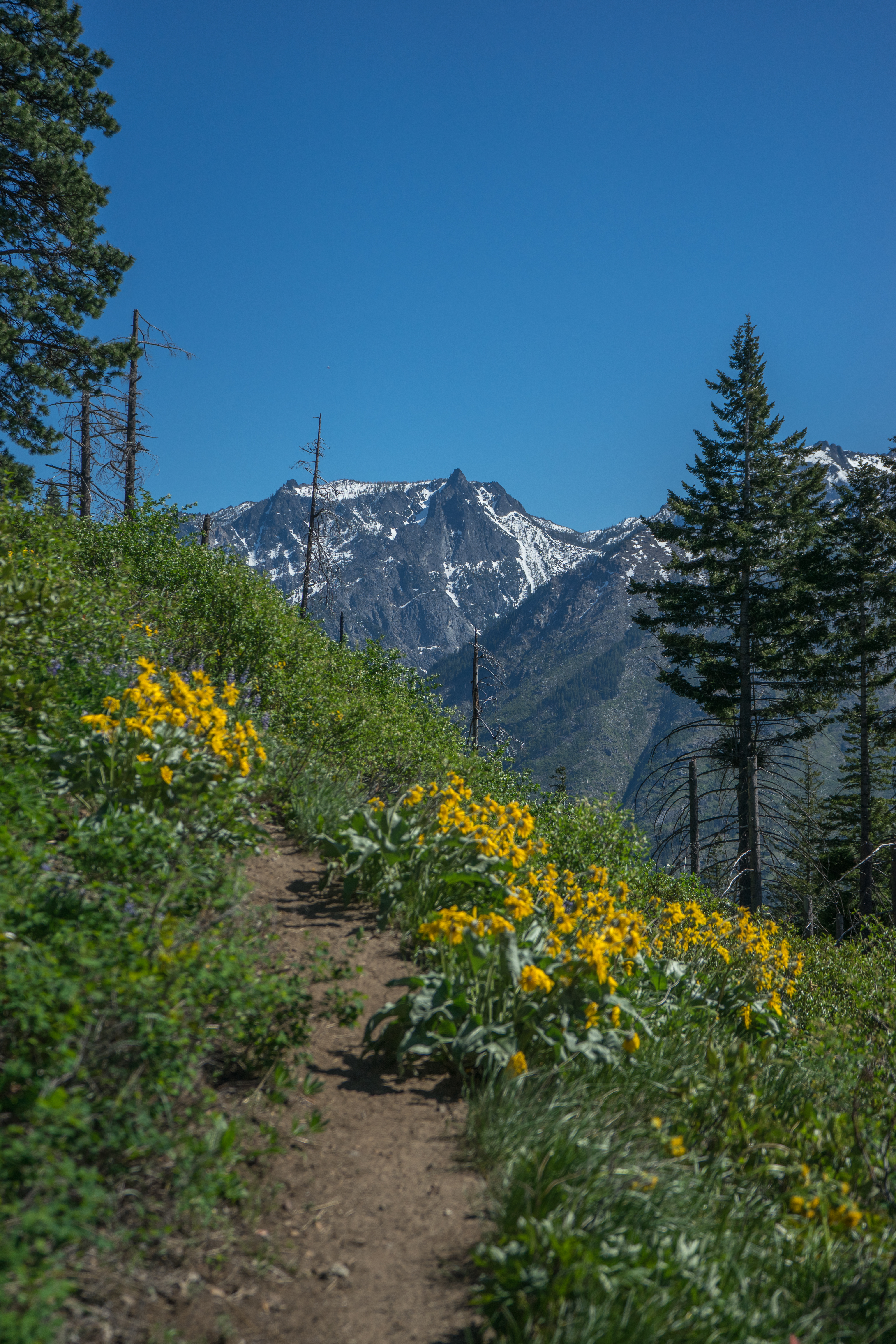
Wildflowers and Wedge Mountain, about a third of the way up the trail
One of the people I met on the way up was a trail runner who was on the way down. He warned me about some rattlesnakes he saw, and the locations he saw them. I ended up not seeing any though. I did see one snake scamper away, but I'm pretty sure it wasn't a rattler.
I also ran into a couple guys who were on the way up to spend the night. They had overpacked, and said their packs weighed about 100 pounds each. Lugging 100 pounds up that trail would be ridiculous, but they seemed to be in good spirits and were enjoying the day.
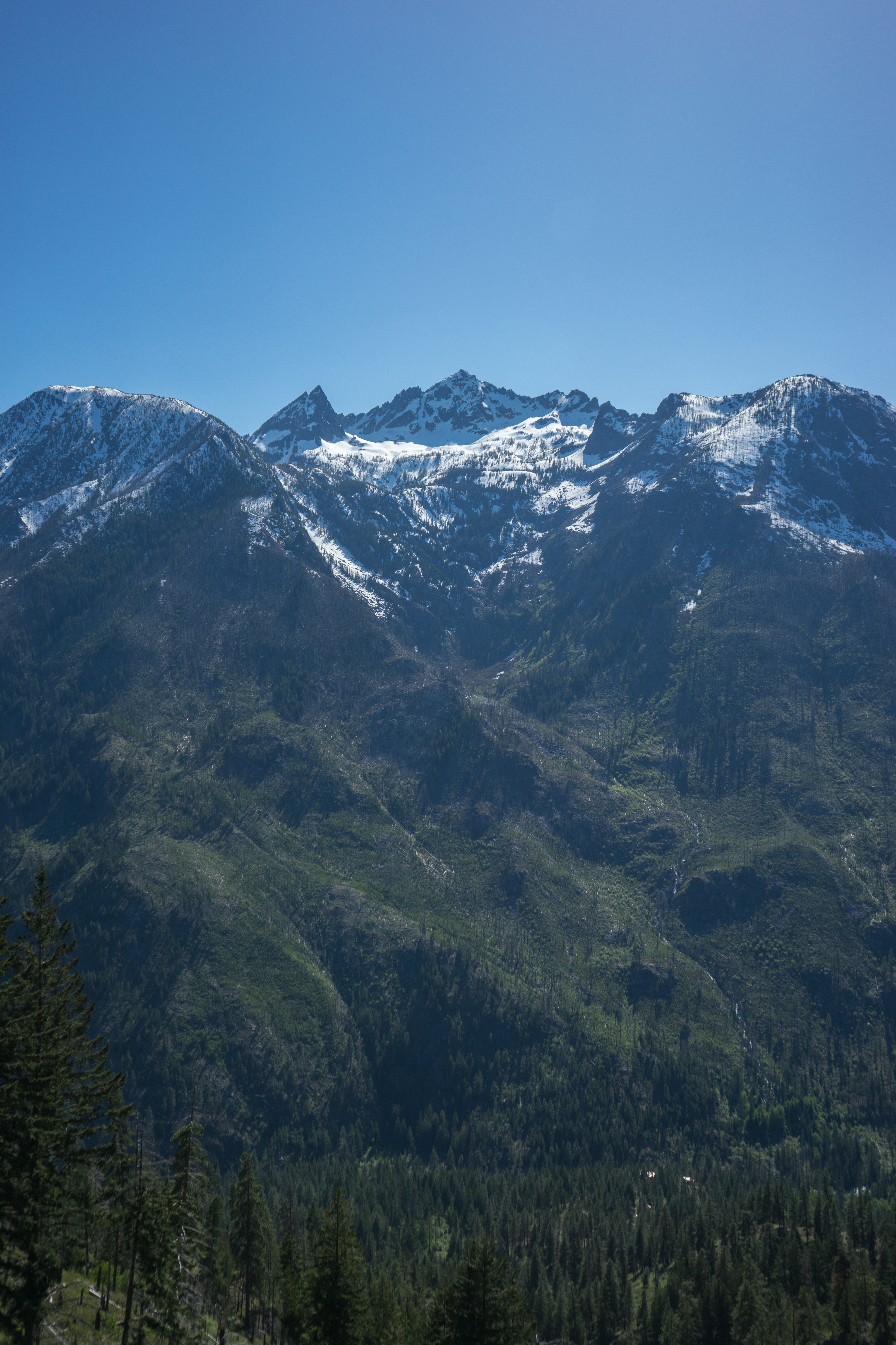
Cashmere mountain, taken from the section of the trail I affectionately refer to as "Hell"
The burned-out section had seen a bunch of deadfall since I was last there. It actually became difficult at several sections to follow the trail because of how many fallen trees there were - I lost count, but I think it was probably north of 60.
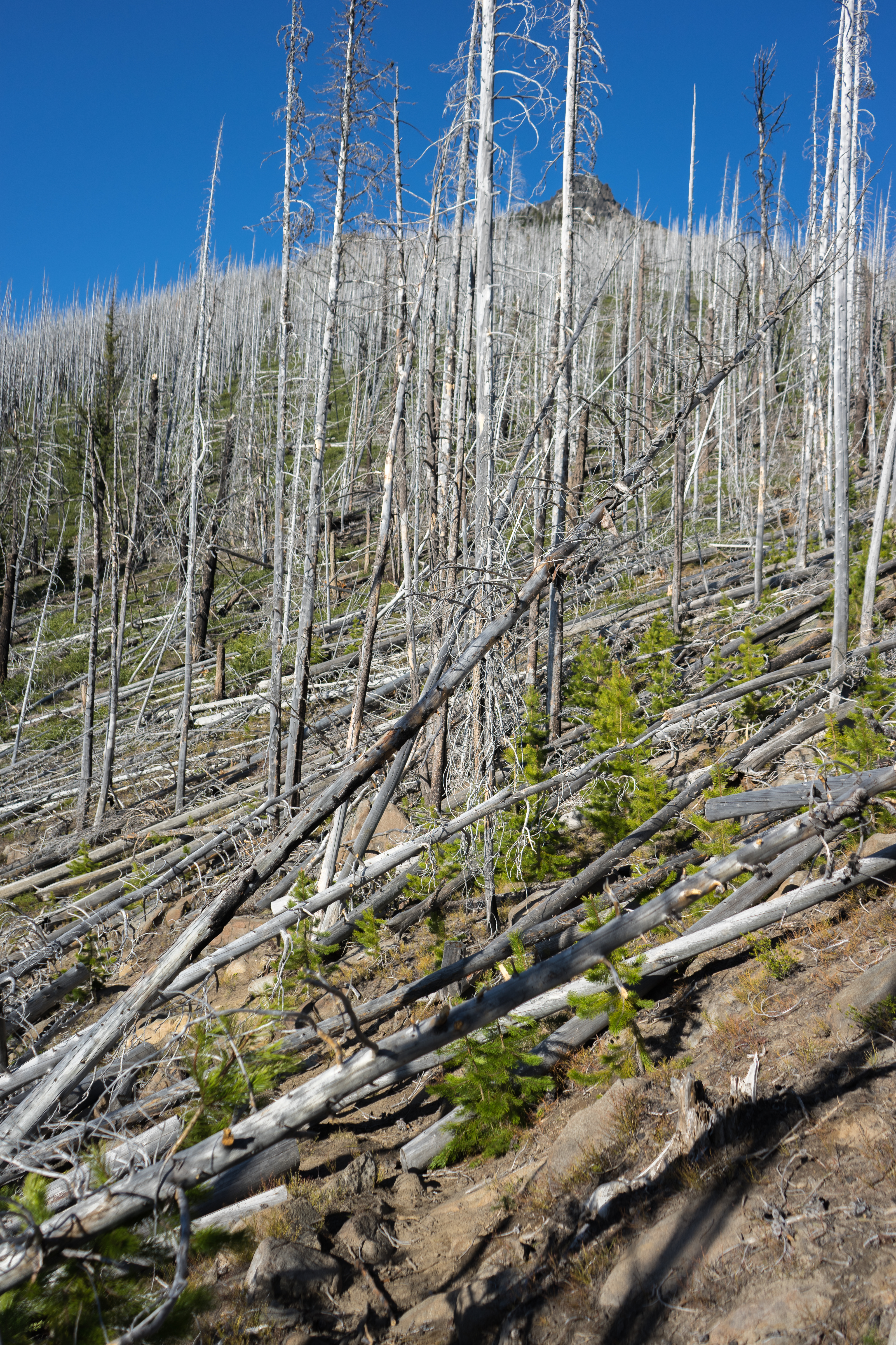
Deadfall. Here's a fun game - follow the trail! Also visible: the summit in the background
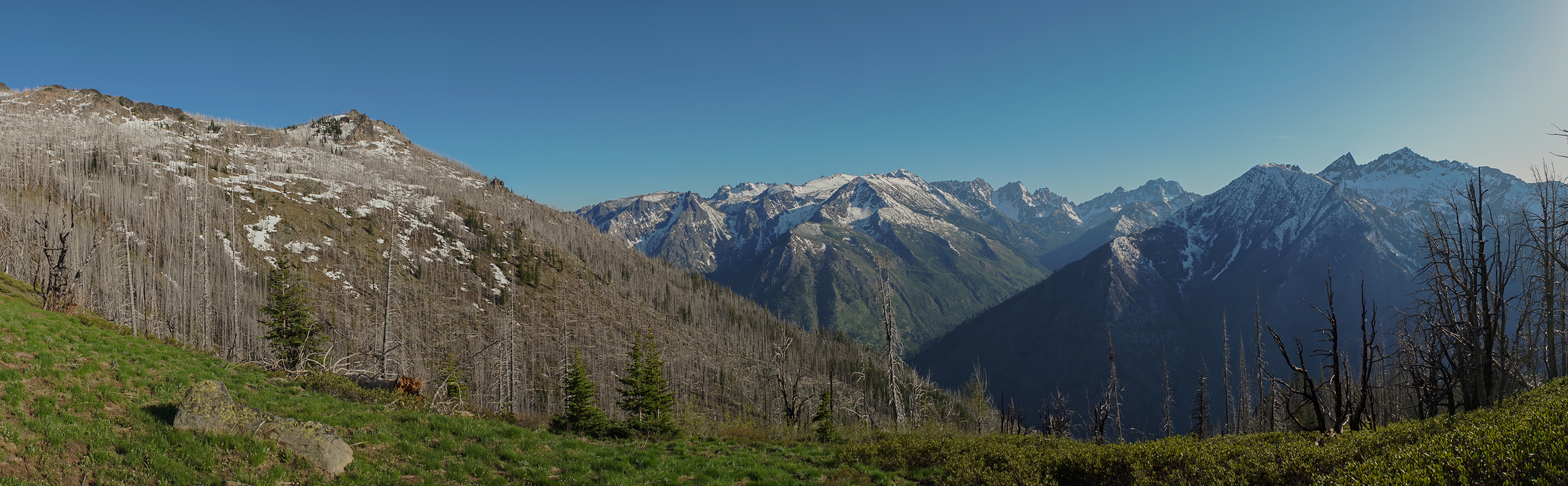
Panorama of peaks near the enchantments and Cashmere. Dragontail and Stuart are visible
Dragontail, Stuart, and a tree
The summit from the approach
Mountains and snow
Mountains and the valley with Icicle Creek
At one point, there was a fire lookout at the summit. I can see why - there are 360 degree views, and you can see for miles. There are still steel bolts left from the lookout, along with some broken wooden boards lying below.
The summit consists of a single large boulder where the lookout used to sit. The approach feels a bit exposed, but is secure. The wind at the top was absolutely ridiculous. I was wearing a t-shirt and shorts when I got there, and put on my rain pants, wool lower layer shirt, and my jacket. I had quite a bit of trouble putting them on cause of the stiff wind. I ended up clipping my gaiters and microspikes to my backpack with a locking biner, cause I was worried they'd blow away. At one point I actually lost the bag for my microspikes, which blew out of my bag when it was unzipped at some point.
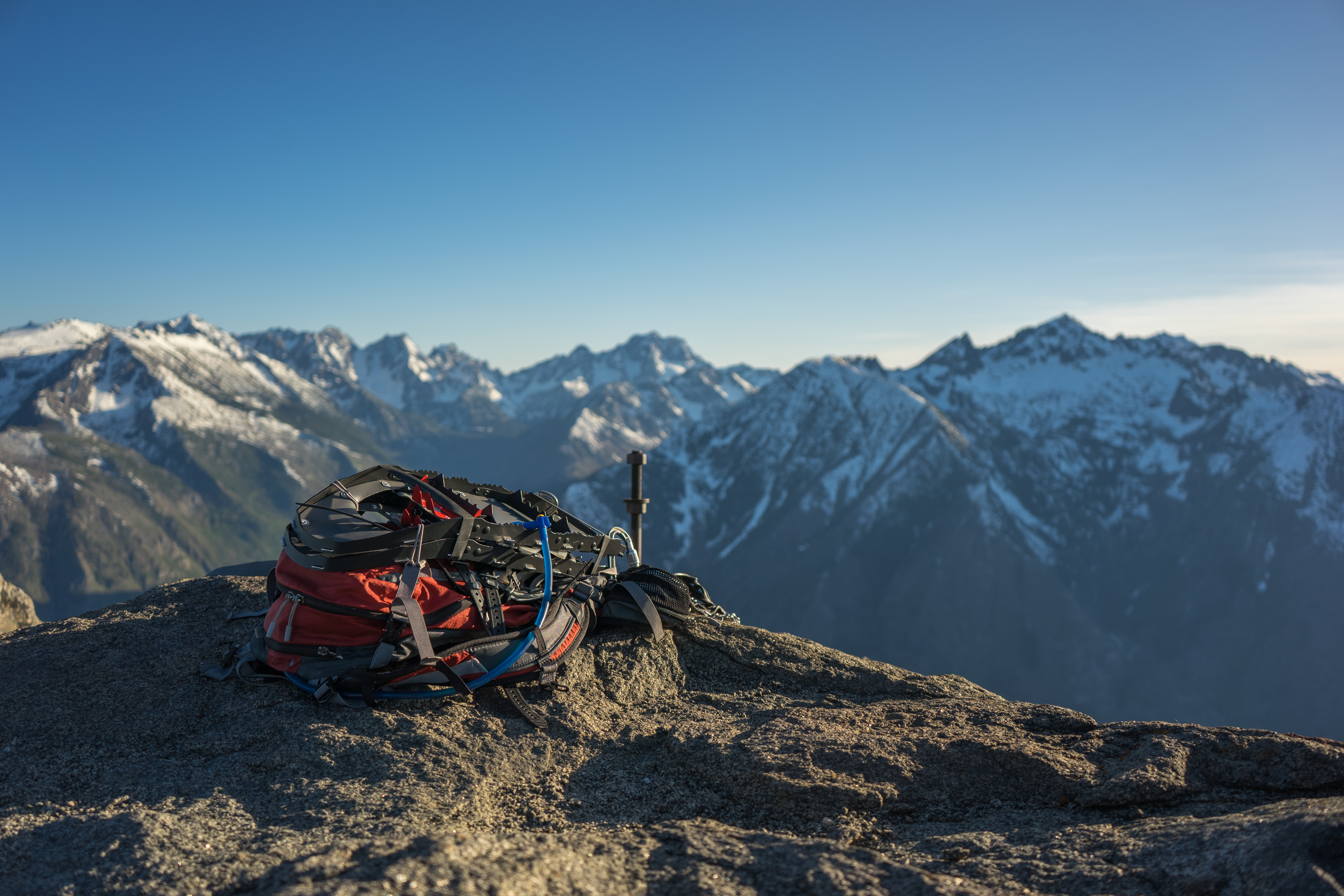
My gear, and an old bolt from the lookout
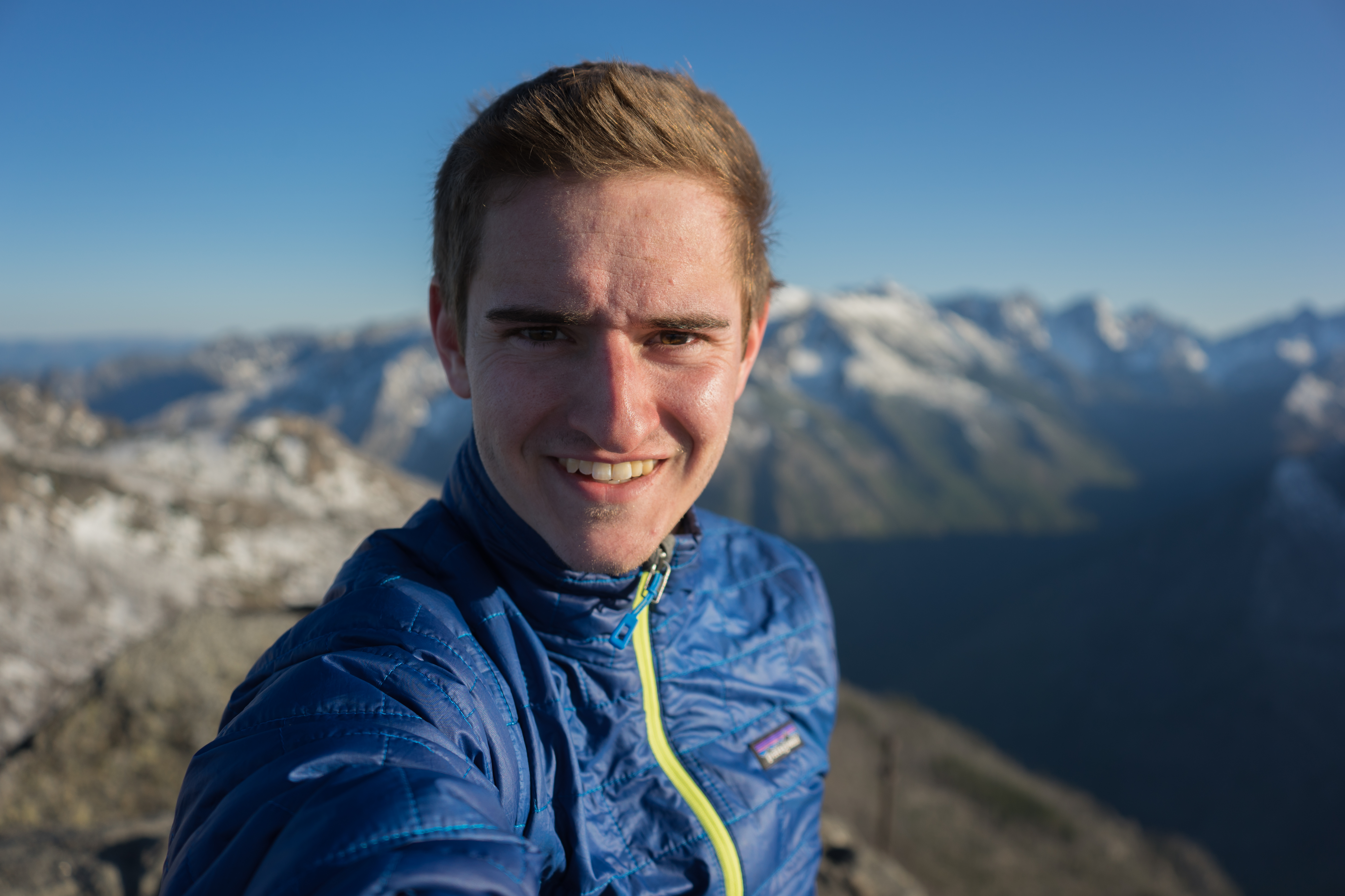
Me at the top
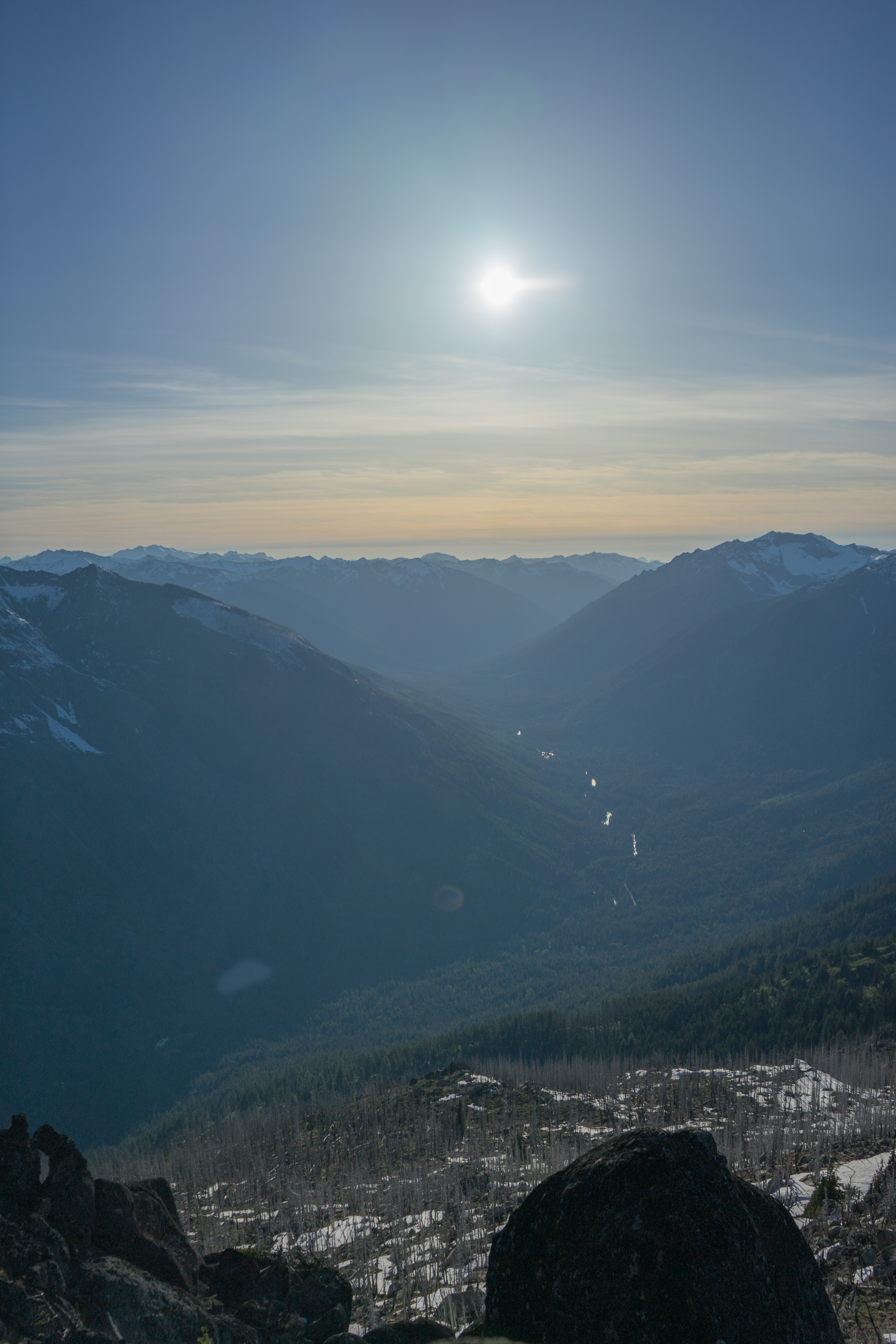
Valley and the sun
Glacier peak in the distance, with the north end of Icicle Ridge
South end of Icicle Ridge
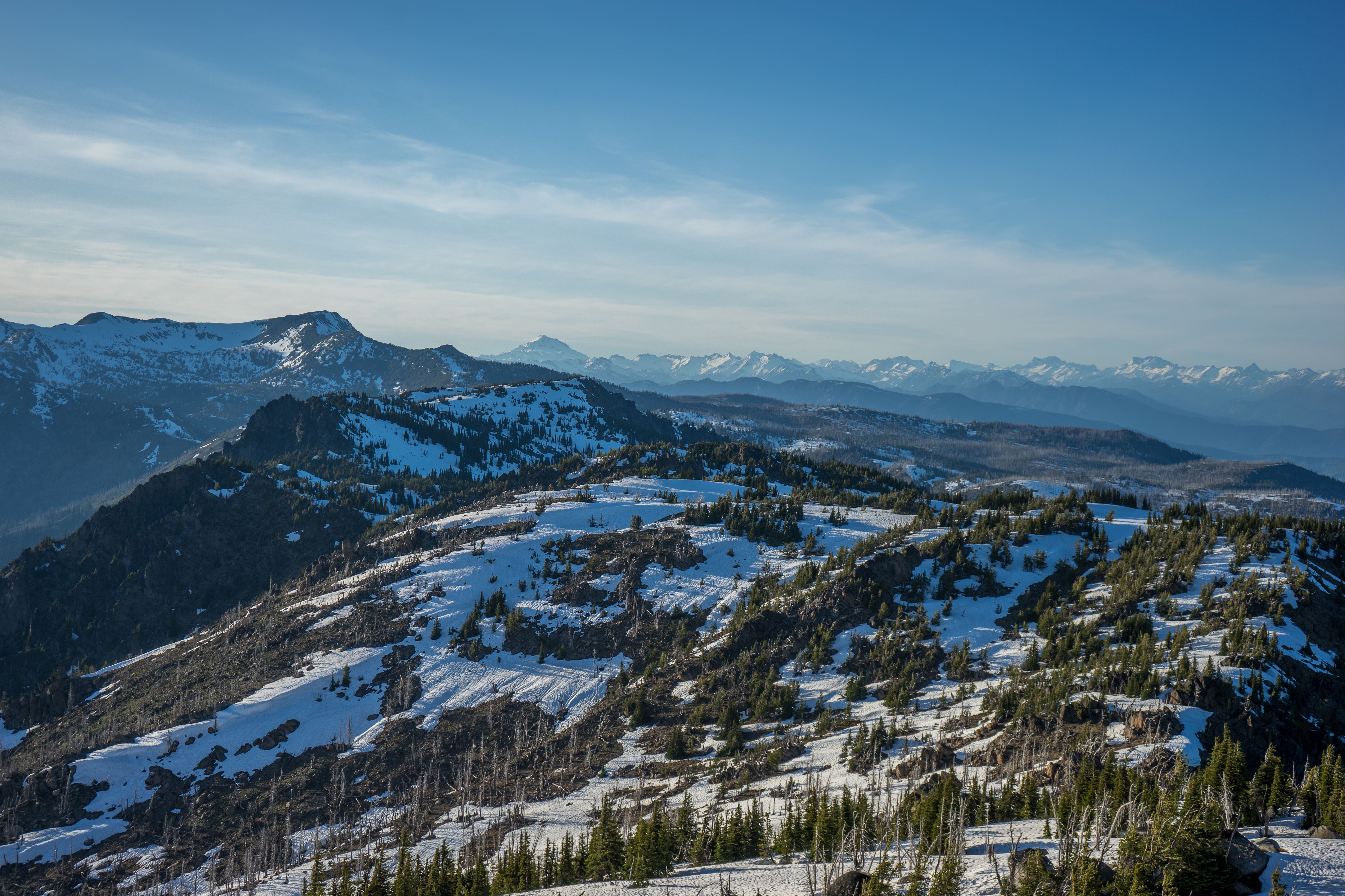
Mountains and trees
Mountains near the enchantments
The sun from the burned-out section, near sunset
When I got back down to the burned-out section, I met the two guys with the heavy packs setting up camp. Apparently that was the first flat section they encountered on the way up. We hung out for a little while. I found out they were actually also from the Chicao area, and had recently moved out here. We exchanged some food before I left - I gave them some cherry tomatoes and they gave me a tangerine. After a few minutes we realized the setting sun was visible on the mountaintops. We ran to take some pictures, but were in the trees so the mountains were a bit obstructed.
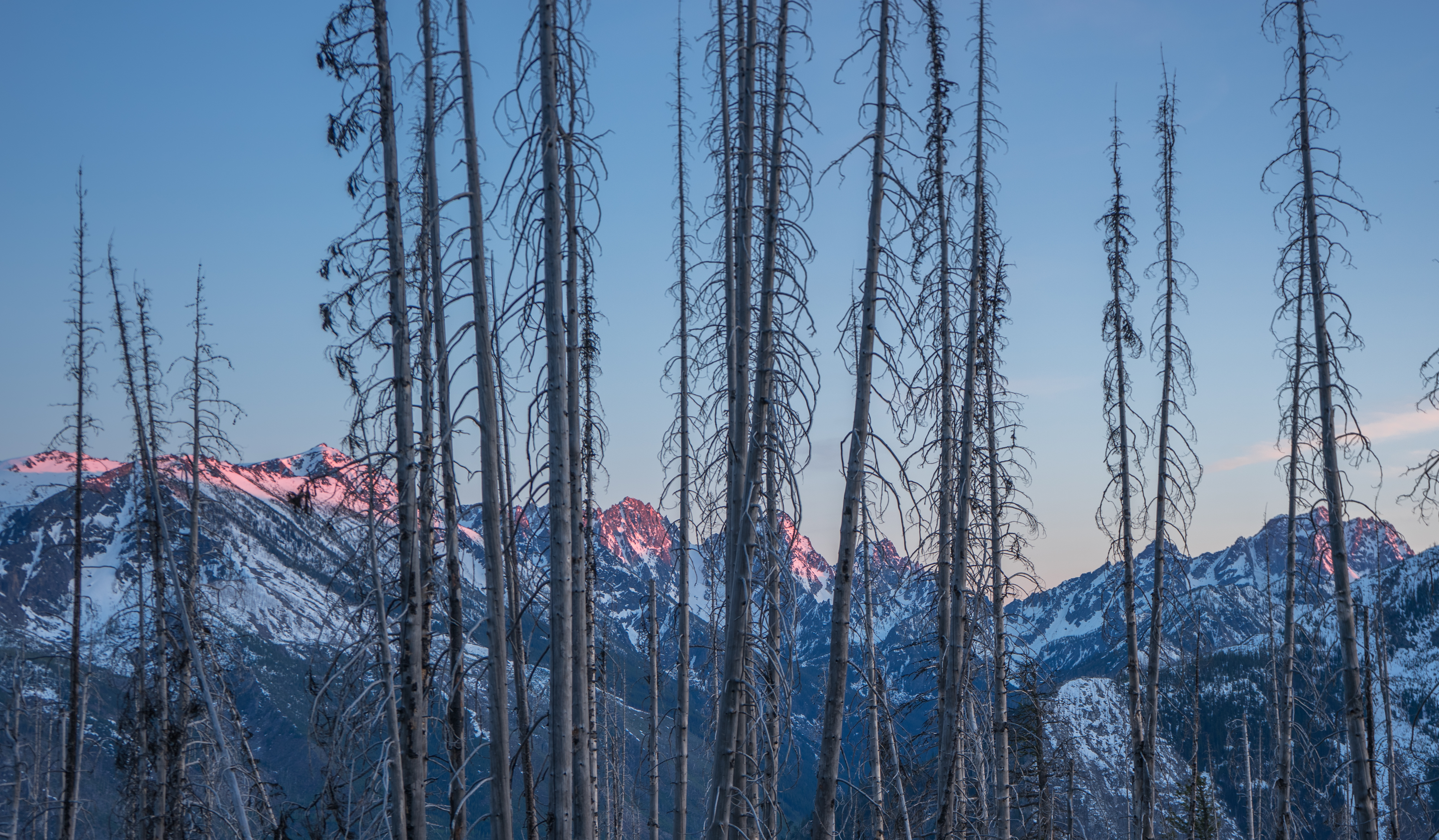
Sunset on the mountains
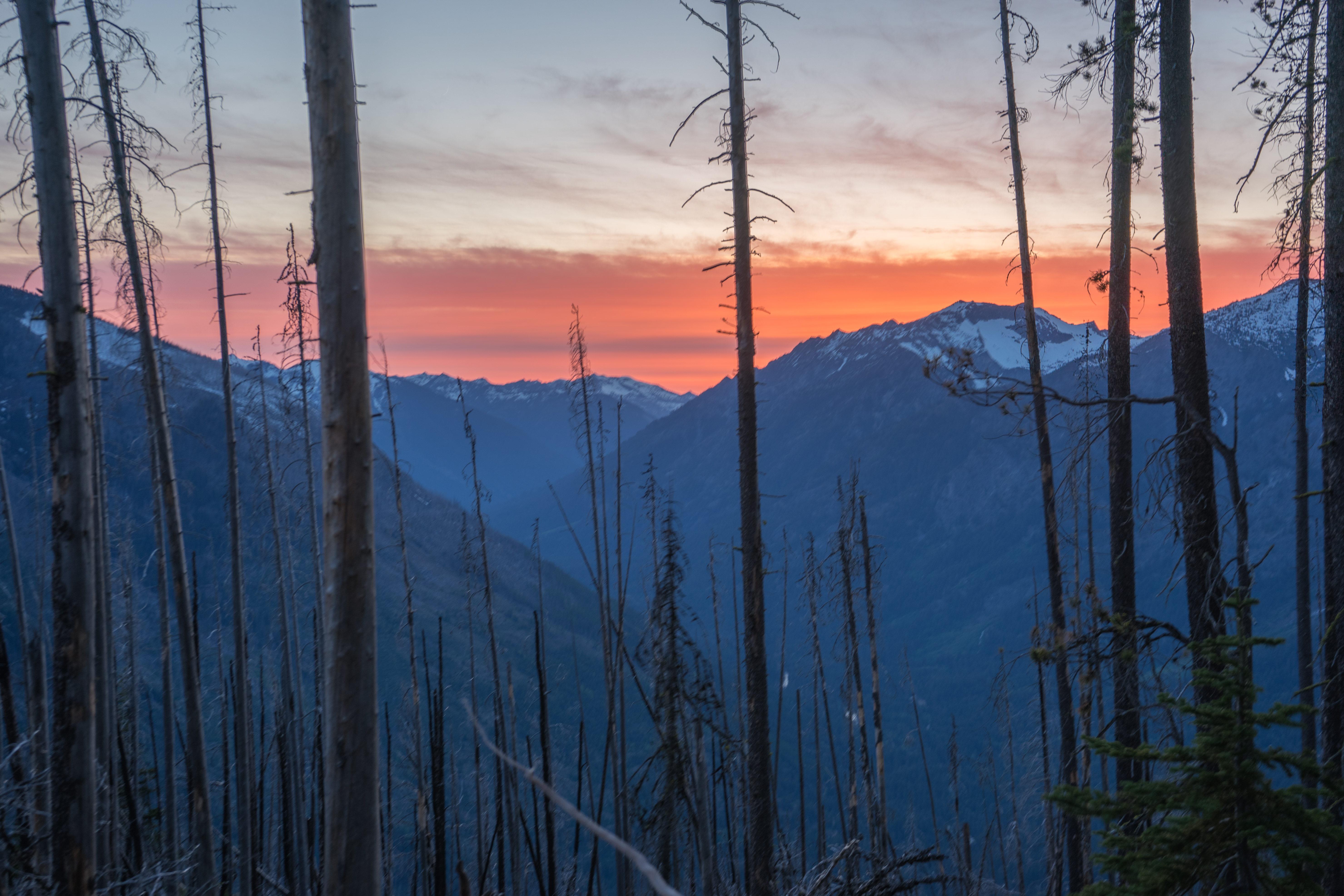
The sunset
After that, I put my headlamp on and hiked the rest of the way out.