
I woke up at 9 today and went climbing. I had no plans to hike, but I got out around 1 PM and it was sunny out with gorgeous clouds. I looked at the weather for the next 10 or so days, and on seeing that it would be rainy for the forseeable future, decided to hike on an impulse.
By 1:30, I had eaten and packed all my things. I looked up close hiking areas in the I-90 corridor while buying some clif bars, and got to the Mailbox Peak trailhead around 2:30. I think I was the last person to start hiking.
The weather didn't stay sunny for very long, and it was overcast for most of the hike. The trail was very well-maintained, although there were the obligatory winter fallen trees. I took the new trail, which is a gradual 4000-foot rise over about 4.6 miles.
Near the top, I started hearing reports that the weather at the summit was very windy. It didn't disappoint. I'm not a great judge of windspeed, but someone else estimated 80 mph. That seems a bit high to me, but I'd believe gusts of up to 80 mph. I almost was blown off my feet at a couple points, and separately my camera was almost blown out of my hand. It was difficult to take pictures because of how much the wind shook my hands. I thought I heard thunder at one point, only to realize it was my jacket's hood being whipped back and forth.
As the last person to start hiking, I had the summit to myself starting at 5:00. It started to drizzle, and I left around 5:30. Sunset was at 5:55, and I hiked down with my headlamp.
Now, after a day full of climbing plastic and mountains, I'm sitting here eating fast food and watching Netflix, about to head to bed.
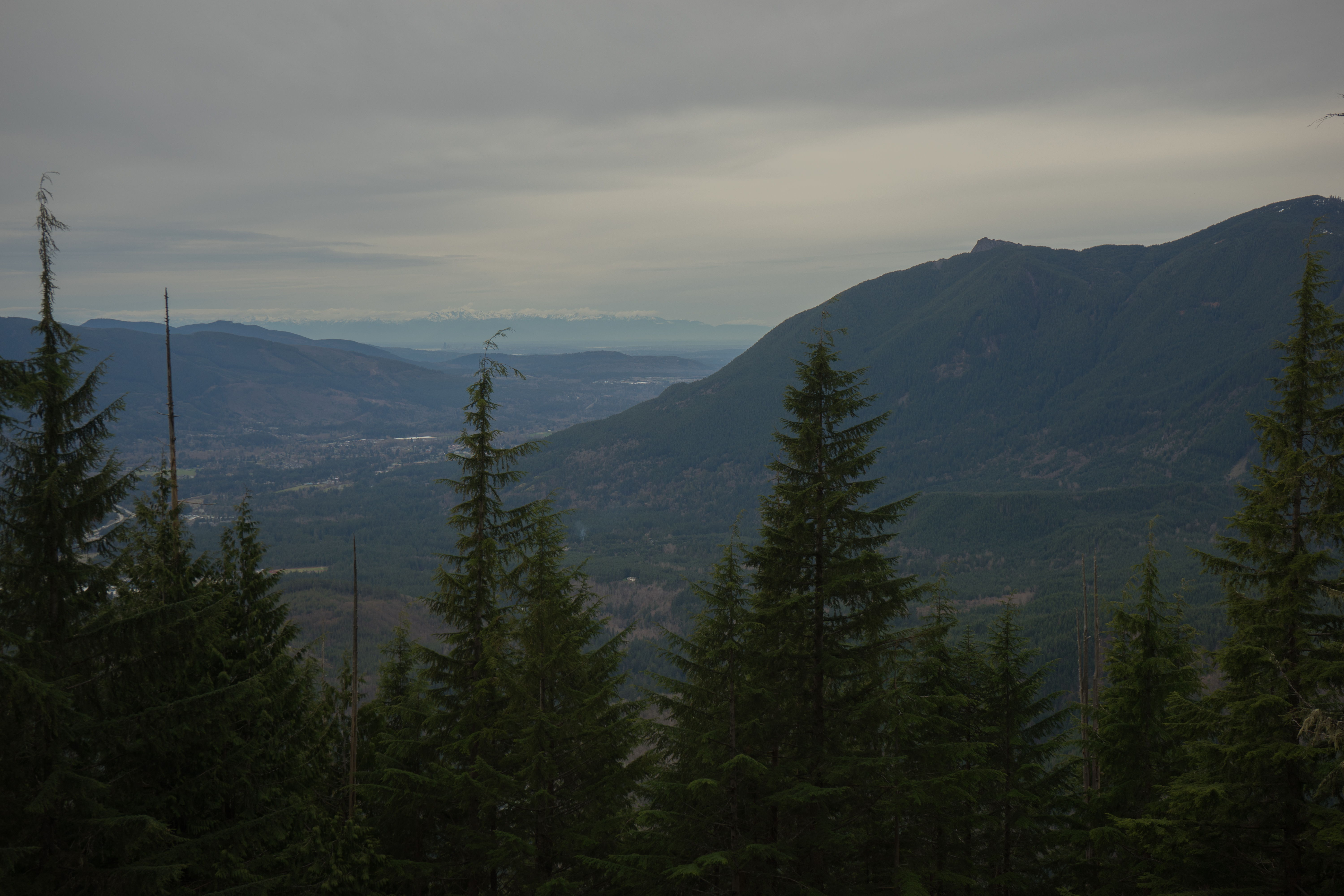
Mount Si from the East. In the distance, Seattle and the Olympics are visible
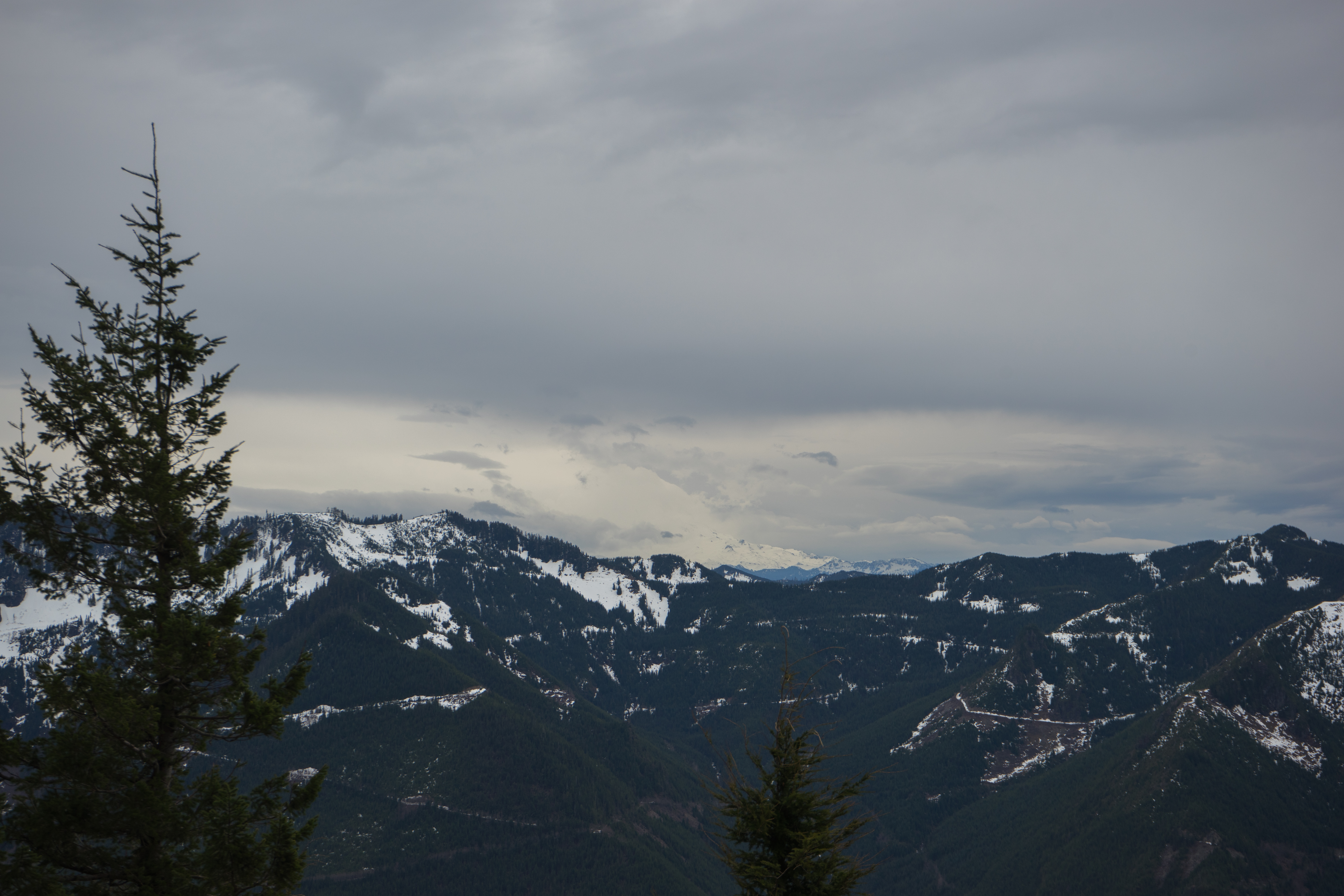
Rainier is slightly visible here, although the top is cut off by clouds

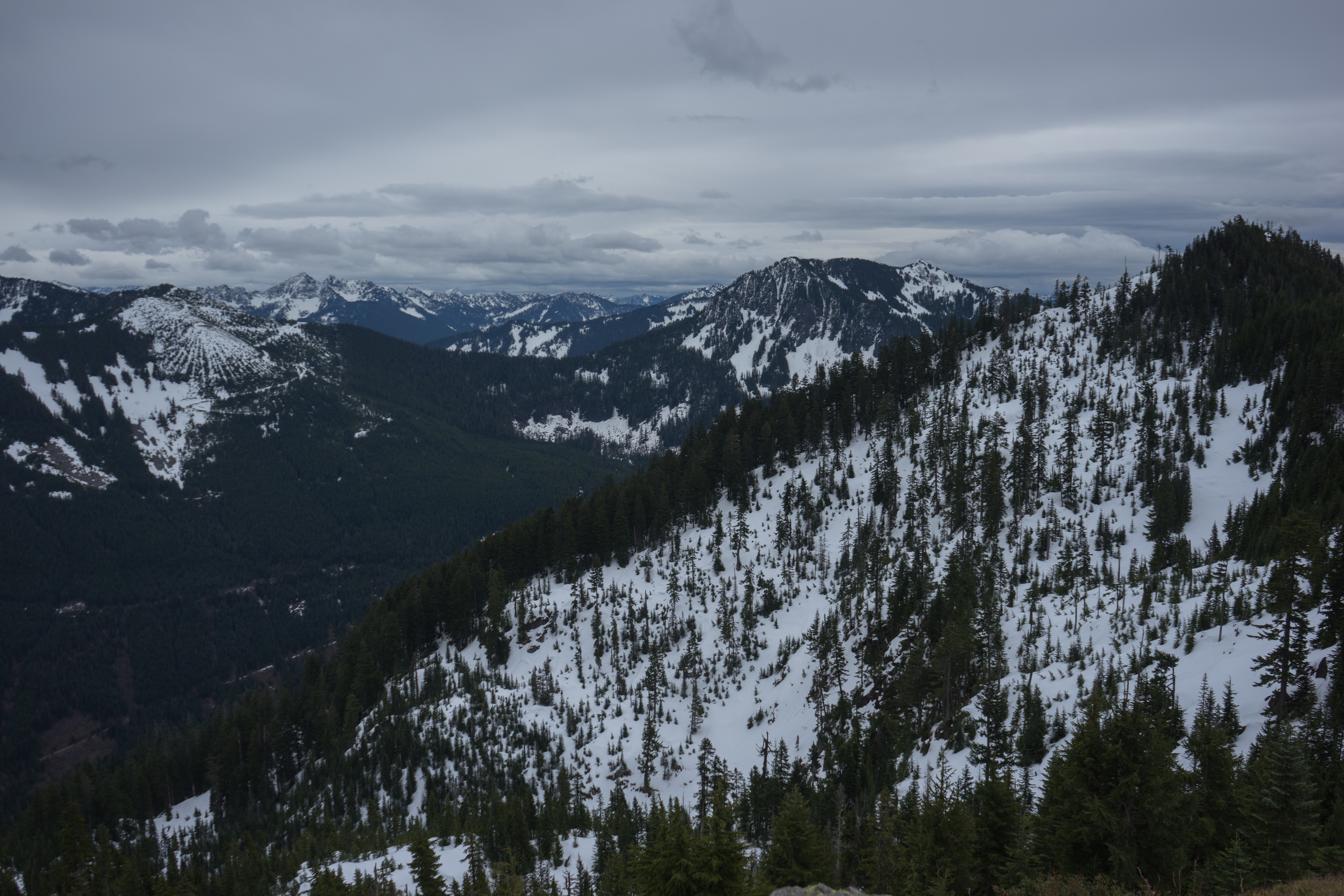
Looking north. Baker is visible to the left
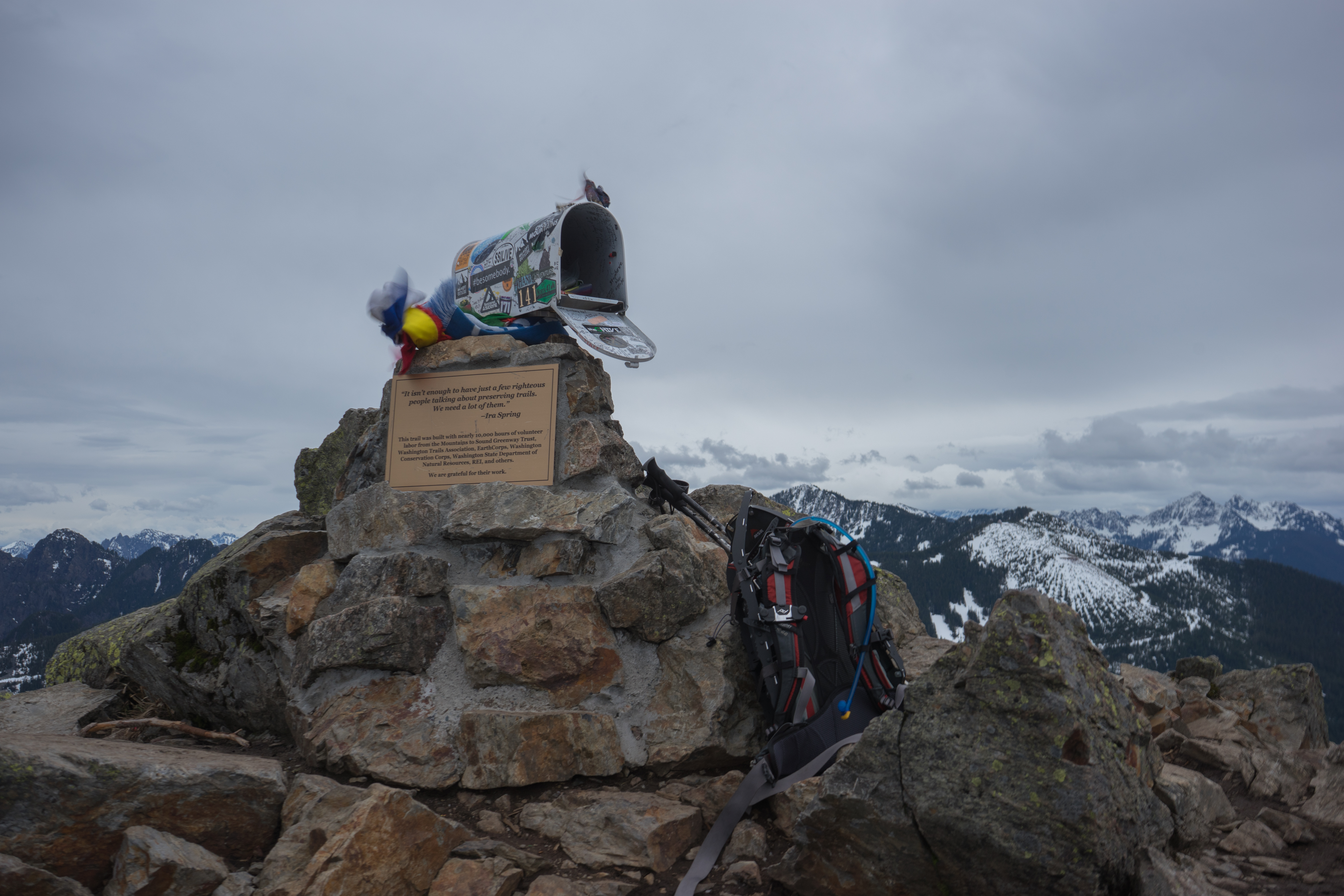
The eponymous mailbox, along with my stuff
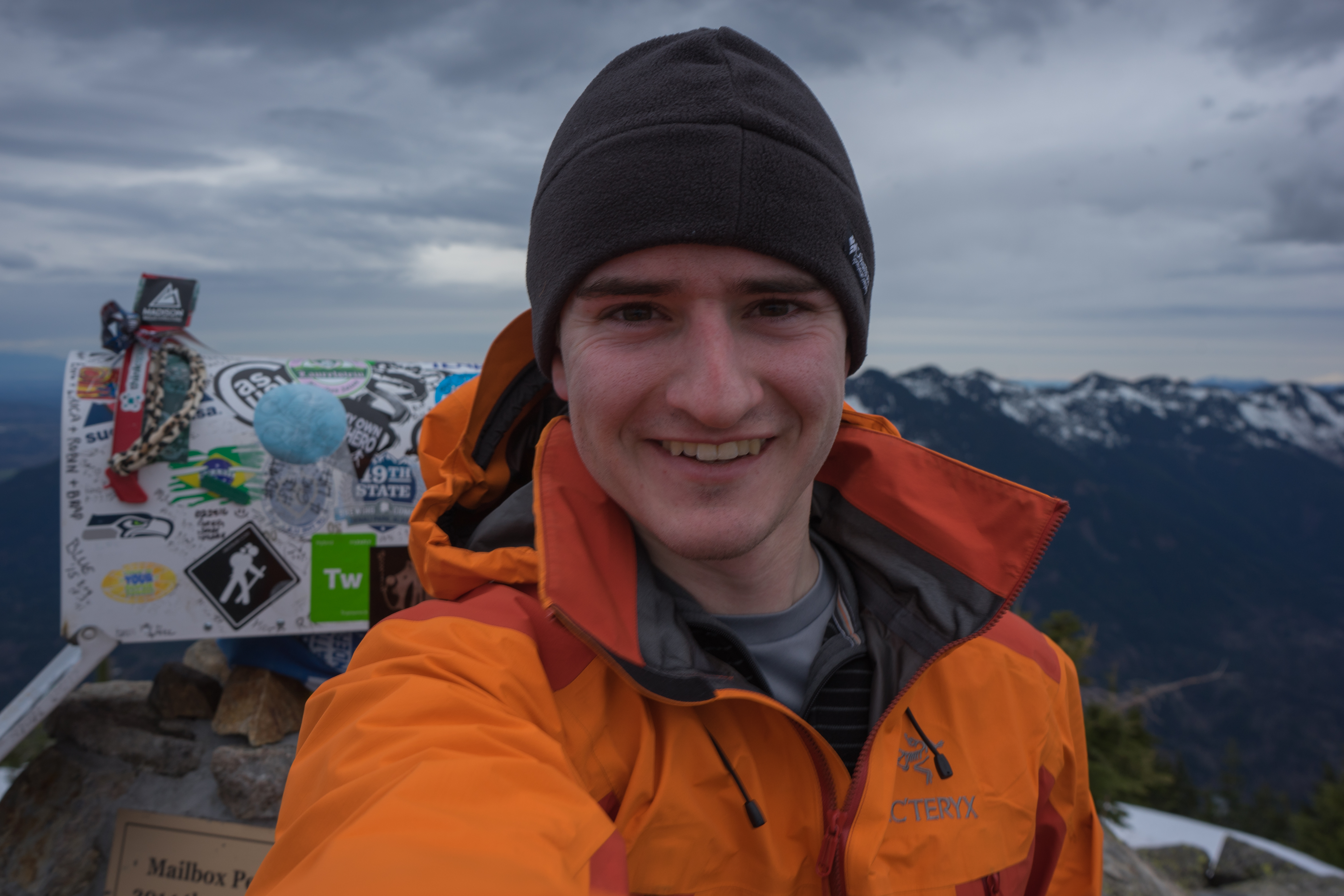
Me. The picture's a bit blurry - I had to take it a few times cause it was very windy. This is the best take
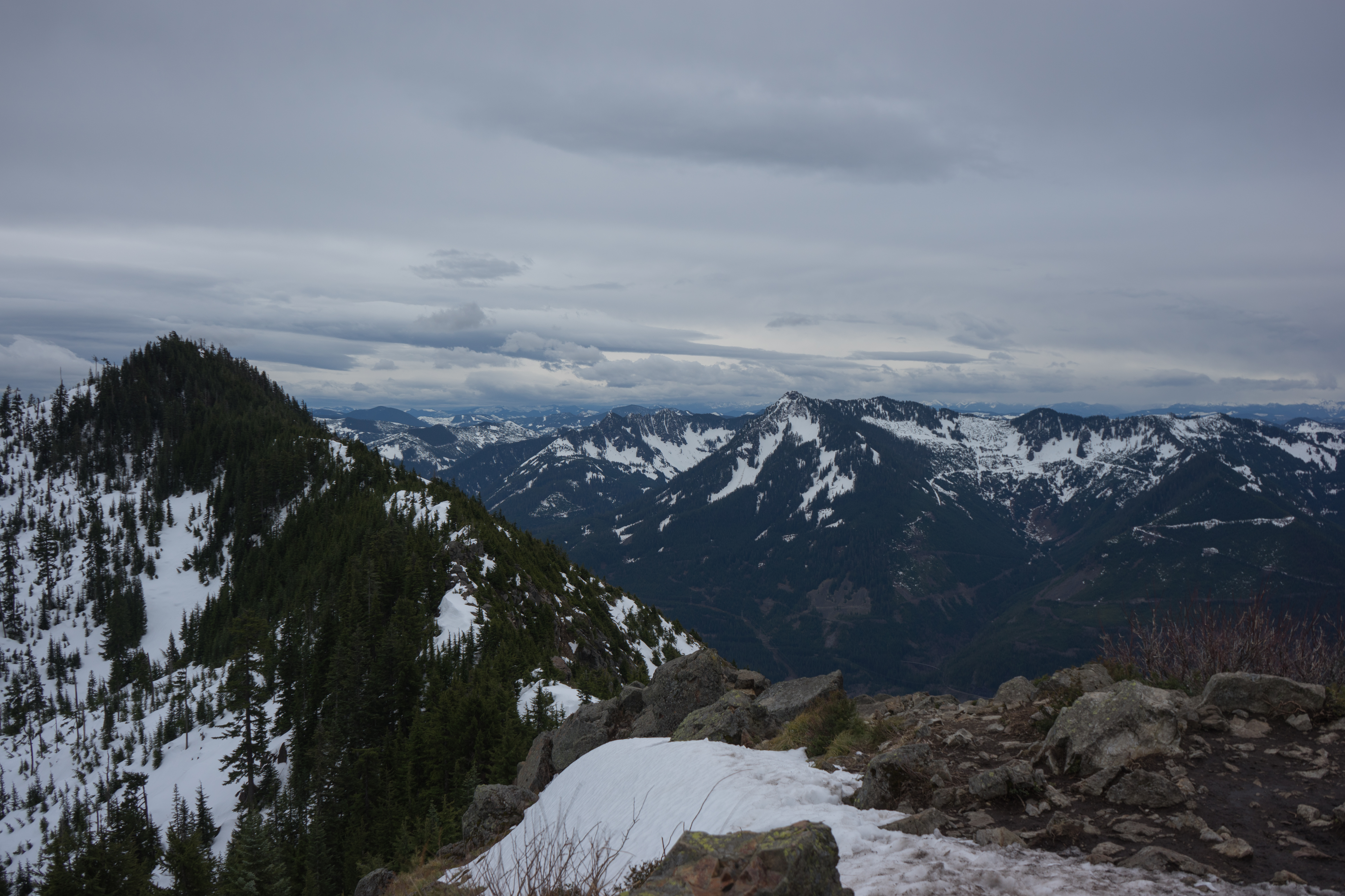
Looking east. The closest mountain at the end of the ridge is Dirtybox peak. I'm not sure what the others are because I'm too lazy to look them up
Dirtybox is on the right in this picture
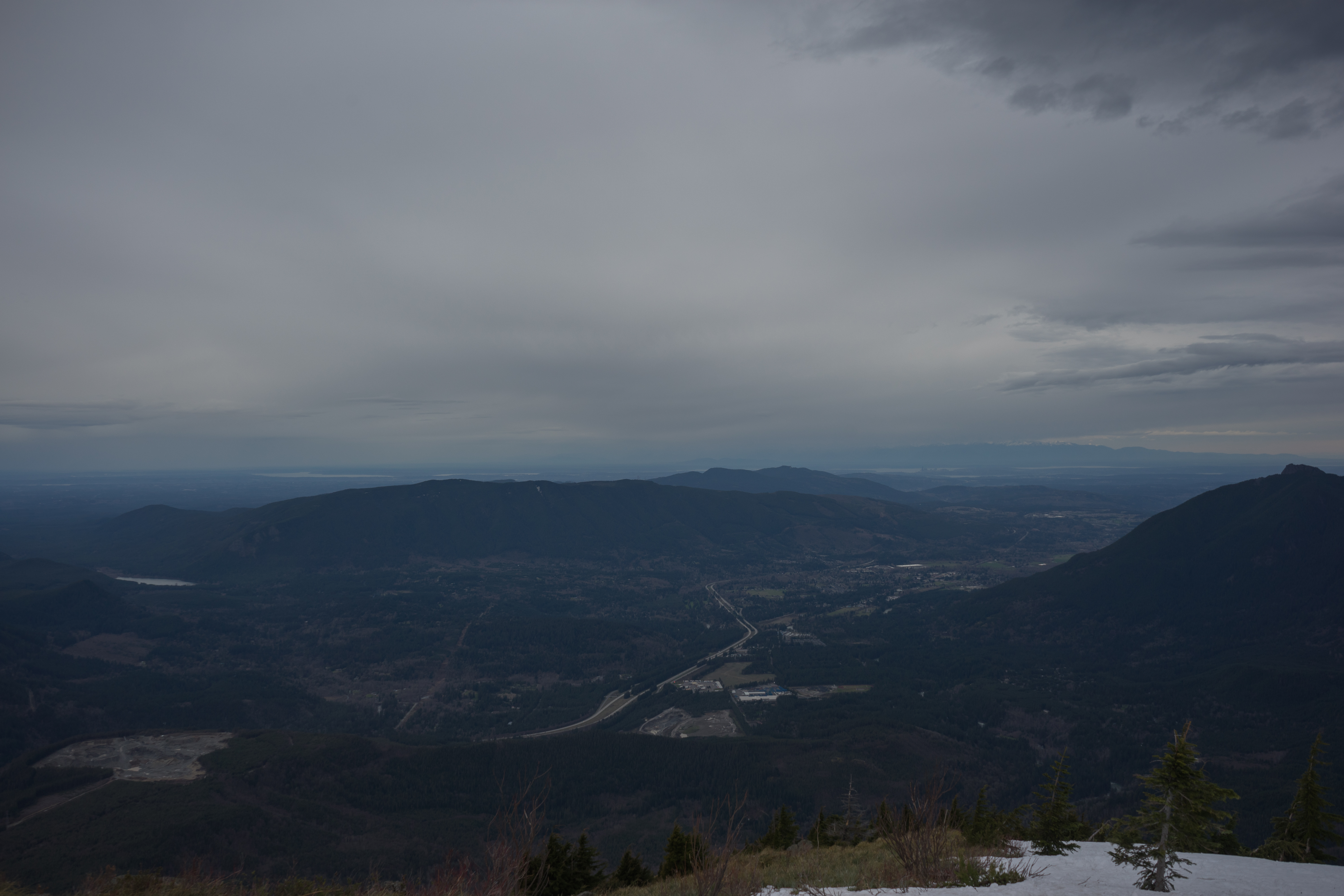
Looking west. Mt. Si is on the right, with Rattlesnake ridge on the left and Tiger Mountain in the middle. Seattle is off in the distance, along with the Olympics, which are partly obscured by clouds
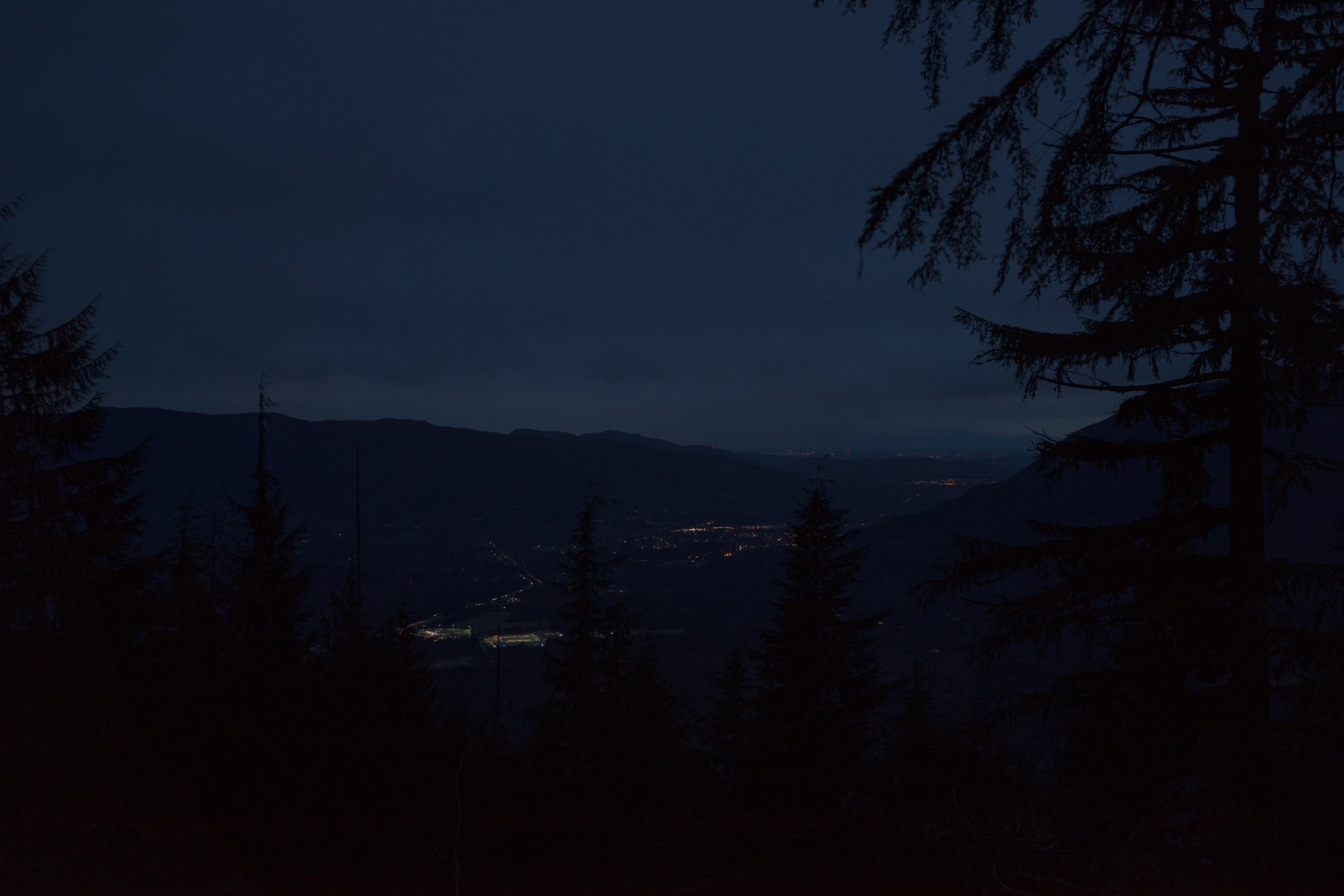
Lower down the mountain after sunset, also looking west. This picture is pretty heavily edited - it was darker in person